Fort Pierce South night lights from space
Night Light of Fort Pierce South (Florida) from space (United States) Src. Average luminocity for 10x10km area is 77.8958% and for 50x50km: 23.4979%.
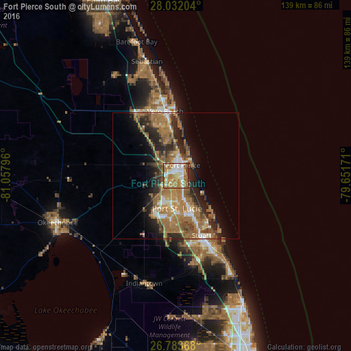
Analysis of Fort Pierce South night lights 2016
Square area 10x10 km:
 19.13%
90-99
17.05%80-89
7.2%70-79
10.98%60-69
33.33%50-59
7.95%40-49
4.17%30-39
0.19%20-29
0%10-19
0%0-9
0%Square area 50x50 km:
2.27%90-99
2.85%80-89
1.68%70-79
2.98%60-69
10.32%50-59
4.66%40-49
3.3%30-39
3.01%20-29
6.33%10-19
7.29%0-9
55.33%Clear (daylight) street map image can be seen on geolist.org.
Map coordinates:
28° 1' 55.3" North, 81° 3' 28.7" West
27° 24' 34.6" North, 80° 21' 17.4" West
26° 47' 1.2" North, 79° 39' 6.2" West
Some cities around Fort Pierce South sort by population:
• Port Saint Lucie
12.9 km =8 mi,  178°
178°
• Vero Beach South
23.7 km =14.7 mi,  345°
345°
• Florida Ridge
19.2 km =11.9 mi, 350°
• Jensen Beach
21.2 km =13.2 mi,  144°
144°
• Lakewood Park
15.6 km =9.7 mi,  342°
342°
• Indian River Estates
6.7 km =4.2 mi, 138°
• River Park
10.6 km =6.6 mi, 175°
• Hutchinson Island South
18.1 km =11.2 mi,  132°
132°
7259774 (p: 5,062)
Sources (retrieved 2019-11-25):
» Earth at Night: Flat Maps 2012, 2016