Ferry Pass night lights from space
Night Light of Ferry Pass (Florida) from space (United States) Src. Average luminocity for 10x10km area is 87.196% and for 50x50km: 32.2477%.
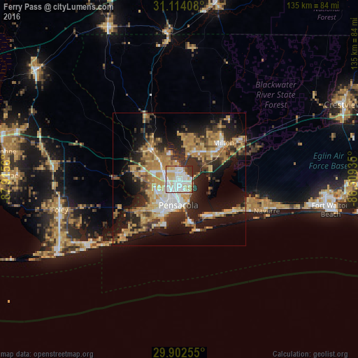
Analysis of Ferry Pass night lights 2016
Square area 10x10 km:
 38.64%
90-99
26.19%80-89
14.29%70-79
7.33%60-69
2.38%50-59
0.18%40-49
4.21%30-39
3.66%20-29
3.11%10-19
0%0-9
0%Square area 50x50 km:
4.38%90-99
4.42%80-89
5.64%70-79
6.22%60-69
6.28%50-59
2.26%40-49
3.75%30-39
5.26%20-29
8.41%10-19
17.26%0-9
36.13%Clear (daylight) street map image can be seen on geolist.org.
Map coordinates:
31° 6' 50.7" North, 87° 54' 56.2" West
30° 30' 36.7" North, 87° 12' 44.9" West
29° 54' 9.2" North, 86° 30' 33.7" West
Some cities around Ferry Pass sort by population:
• East Pensacola Heights
9.6 km =6 mi,  161°
161°
• Pensacola
9.9 km =6.2 mi,  182°
182°
• Bellview
11.2 km =7 mi,  241°
241°
• Brent
5.1 km =3.2 mi,  206°
206°
• West Pensacola
11.3 km =7 mi, 214°
• Ensley
5.9 km =3.7 mi,  279°
279°
• Pace
11.1 km =6.9 mi,  26°
26°
• Gonzalez
11 km =6.8 mi,  316°
316°
4155017 (p: 28,921)
Sources (retrieved 2019-11-25):
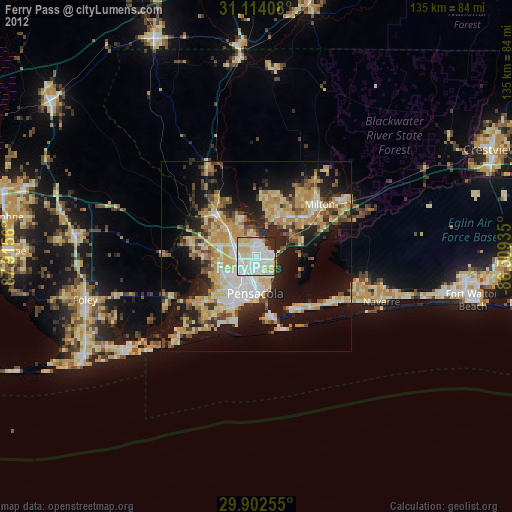
» Earth at Night: Flat Maps 2012, 2016