Bellview night lights from space
Night Light of Bellview (Florida) from space (United States) Src. Average luminocity for 10x10km area is 71.4945% and for 50x50km: 30.0157%.
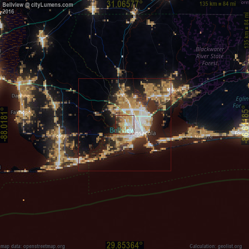
Analysis of Bellview night lights 2016
Square area 10x10 km:
 12.45%
90-99
19.05%80-89
14.65%70-79
18.86%60-69
7.33%50-59
2.93%40-49
4.76%30-39
8.24%20-29
10.99%10-19
0.73%0-9
0%Square area 50x50 km:
4.39%90-99
4.35%80-89
5.3%70-79
5.57%60-69
5.64%50-59
2.14%40-49
3.35%30-39
4.9%20-29
7.66%10-19
15.38%0-9
41.34%Clear (daylight) street map image can be seen on geolist.org.
Map coordinates:
31° 3' 56.8" North, 88° 1' 5.2" West
30° 27' 41.7" North, 87° 18' 53.9" West
29° 51' 13.1" North, 86° 36' 42.7" West
Some cities around Bellview sort by population:
• East Pensacola Heights
13.4 km =8.3 mi,  105°
105°
• Pensacola
10.4 km =6.5 mi,  115°
115°
• Ferry Pass
11.2 km =7 mi,  61°
61°
• Brent
7.6 km =4.7 mi,  83°
83°
• West Pensacola
5.2 km =3.2 mi,  139°
139°
• Ensley
7.5 km =4.7 mi,  32°
32°
• Myrtle Grove
4.6 km =2.9 mi,  170°
170°
• Warrington
9.4 km =5.8 mi,  156°
156°
4147290 (p: 23,355)
Sources (retrieved 2019-11-25):
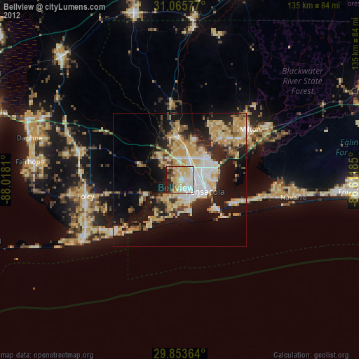
» Earth at Night: Flat Maps 2012, 2016