Pace night lights from space
Night Light of Pace (Florida) from space (United States) Src. Average luminocity for 10x10km area is 54.9872% and for 50x50km: 29.6308%.
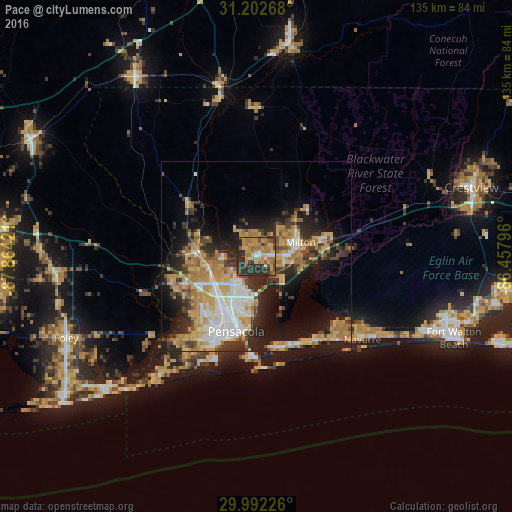
Analysis of Pace night lights 2016
Square area 10x10 km:
 3.3%
3.3%90-99
2.56%80-89
11.54%70-79
15.02%60-69
18.68%50-59
6.04%40-49
5.68%30-39
12.82%20-29
23.99%10-19
0.37%0-9
0%Square area 50x50 km:
4.16%90-99
4.29%80-89
5.23%70-79
5.85%60-69
5.92%50-59
2.14%40-49
3.43%30-39
4.7%20-29
7.59%10-19
13.06%0-9
43.64%Clear (daylight) street map image can be seen on geolist.org.
Map coordinates:
31° 12' 9.6" North, 87° 51' 51.2" West
30° 35' 57.7" North, 87° 9' 39.9" West
29° 59' 32.1" North, 86° 27' 28.7" West
Some cities around Pace sort by population:
• East Pensacola Heights
19 km =11.8 mi,  185°
185°
• Ferry Pass
11.1 km =6.9 mi,  206°
206°
• Cantonment
17.2 km =10.7 mi,  273°
273°
• Brent
16.2 km =10.1 mi, 206°
• Ensley
13.9 km =8.6 mi,  230°
230°
• Gonzalez
12.6 km =7.8 mi,  260°
260°
• East Milton
13.5 km =8.4 mi,  82°
82°
• Milton
12.2 km =7.6 mi,  72°
72°
4167424 (p: 20,039)
Sources (retrieved 2019-11-25):
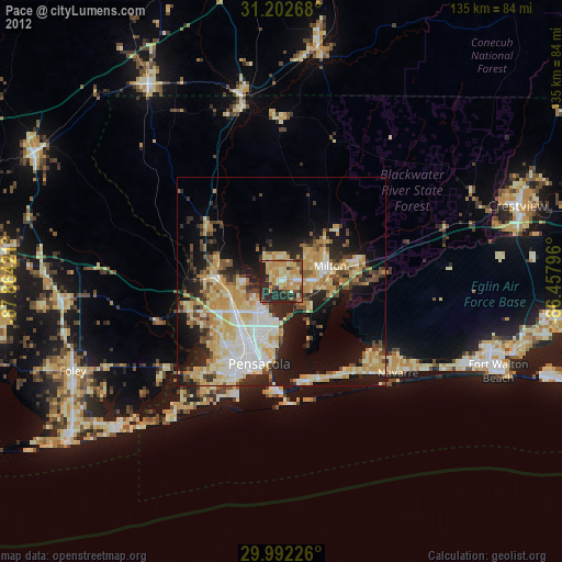
» Earth at Night: Flat Maps 2012, 2016