Ephraim night lights from space
Night Light of Ephraim (Utah) from space (United States) Src. Average luminocity for 10x10km area is 7.0357% and for 50x50km: 1.1685%.
Analysis of Ephraim night lights 2016
Square area 10x10 km:
 0.34%
0.34%90-99
0.34%80-89
2.04%70-79
1.36%60-69
1.36%50-59
0.17%40-49
0.51%30-39
1.36%20-29
2.04%10-19
1.36%0-9
89.12%Square area 50x50 km:
0.04%90-99
0.08%80-89
0.21%70-79
0.32%60-69
0.21%50-59
0.2%40-49
0.1%30-39
0.27%20-29
0.23%10-19
0.09%0-9
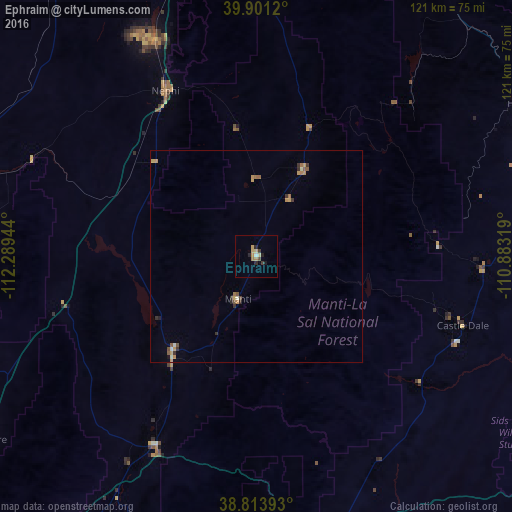
98.25%Clear (daylight) street map image can be seen on geolist.org.
Map coordinates:
39° 54' 4.3" North, 112° 17' 22" West
39° 21' 34.8" North, 111° 35' 10.7" West
38° 48' 50.1" North, 110° 52' 59.5" West
Some cities around Ephraim sort by population:
• Spanish Fork
84.2 km =52.3 mi,  356°
356°
• Payson
77.1 km =47.9 mi,  350°
350°
• Santaquin
70.6 km =43.9 mi, 346°
• Mapleton
85.7 km =53.3 mi,  0°
0°
• Price
71.7 km =44.6 mi,  68°
68°
• Richfield
78.2 km =48.6 mi,  213°
213°
• Salem
77.5 km =48.2 mi, 354°
• Nephi
44.5 km =27.7 mi,  331°
331°
5538927 (p: 6,857)
Sources (retrieved 2019-11-25):
» Earth at Night: Flat Maps 2012, 2016