Richfield night lights from space
Night Light of Richfield (Utah) from space (United States) Src. Average luminocity for 10x10km area is 15.2908% and for 50x50km: 1.5257%.
Analysis of Richfield night lights 2016
Square area 10x10 km:
 2.89%
2.89%90-99
2.21%80-89
1.02%70-79
1.19%60-69
3.4%50-59
3.23%40-49
0.85%30-39
0.17%20-29
1.36%10-19
4.76%0-9
78.91%Square area 50x50 km:
0.12%90-99
0.14%80-89
0.15%70-79
0.24%60-69
0.3%50-59
0.37%40-49
0.19%30-39
0.18%20-29
0.38%10-19
0.31%0-9
97.62%Clear (daylight) street map image can be seen on geolist.org.
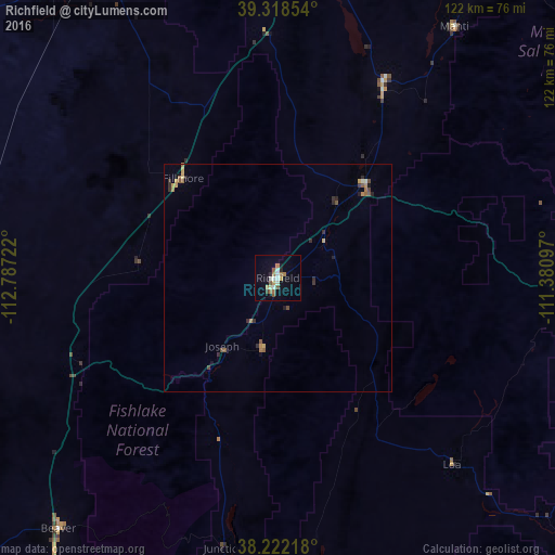
Map coordinates:
39° 19' 6.7" North, 112° 47' 14" West
38° 46' 20.9" North, 112° 5' 2.7" West
38° 13' 19.8" North, 111° 22' 51.5" West
Some cities around Richfield sort by population:
• Cedar City
148.7 km =92.4 mi,  215°
215°
• Payson
144.6 km =89.9 mi,  12°
12°
• Santaquin
136.2 km =84.6 mi, 10°
• Price
143.2 km =89 mi,  50°
50°
• Salem
146.7 km =91.2 mi, 13°
• Ephraim
78.2 km =48.6 mi,  33°
33°
• Enoch
138.1 km =85.8 mi, 216°
• Nephi
106.4 km =66.1 mi, 11°
5545710 (p: 7,592)
Sources (retrieved 2019-11-25):
» Earth at Night: Flat Maps 2012, 2016