Spanish Fork night lights from space
Night Light of Spanish Fork (Utah) from space (United States) Src. Average luminocity for 10x10km area is 45.7792% and for 50x50km: 11.1618%.
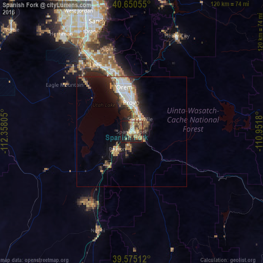
Analysis of Spanish Fork night lights 2016
Square area 10x10 km:
 3.57%
3.57%90-99
5.84%80-89
11.36%70-79
9.25%60-69
7.14%50-59
7.47%40-49
5.03%30-39
5.36%20-29
15.75%10-19
24.19%0-9
5.03%Square area 50x50 km:
1.74%90-99
2.07%80-89
1.48%70-79
1.75%60-69
1.25%50-59
1.32%40-49
1.16%30-39
1.49%20-29
3.17%10-19
6.91%0-9
77.66%Clear (daylight) street map image can be seen on geolist.org.
Map coordinates:
40° 39' 2" North, 112° 21' 29" West
40° 6' 53.9" North, 111° 39' 17.7" West
39° 34' 30.4" North, 110° 57' 6.5" West
Some cities around Spanish Fork sort by population:
• Provo
13.2 km =8.2 mi,  358°
358°
• Orem
20.5 km =12.7 mi,  350°
350°
• Springville
6.7 km =4.2 mi,  33°
33°
• Payson
10.2 km =6.3 mi,  219°
219°
• Lindon
26 km =16.2 mi, 347°
• Santaquin
19.1 km =11.9 mi, 215°
• Mapleton
6.7 km =4.2 mi,  75°
75°
• Salem
7.1 km =4.4 mi,  192°
192°
5781860 (p: 37,935)
Sources (retrieved 2019-11-25):
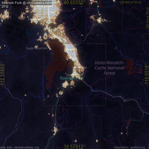
» Earth at Night: Flat Maps 2012, 2016