Egypt Lake-Leto night lights from space
Night Light of Egypt Lake-Leto (Florida) from space (United States) Src. Average luminocity for 10x10km area is 98.8087% and for 50x50km: 73.3819%.
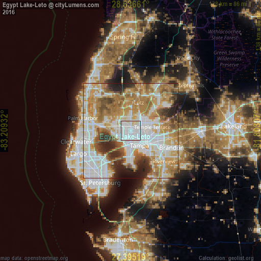
Analysis of Egypt Lake-Leto night lights 2016
Square area 10x10 km:
 74.24%
90-99
21.59%80-89
4.17%70-79
0%60-69
0%50-59
0%40-49
0%30-39
0%20-29
0%10-19
0%0-9
0%Square area 50x50 km:
22.74%90-99
16.26%80-89
8.4%70-79
11.16%60-69
15.97%50-59
6.14%40-49
5.01%30-39
4.22%20-29
6.62%10-19
2.85%0-9
0.63%Clear (daylight) street map image can be seen on geolist.org.
Map coordinates:
28° 38' 11.8" North, 83° 12' 33.6" West
28° 1' 3.7" North, 82° 30' 22.3" West
27° 23' 42.7" North, 81° 48' 11.1" West
Some cities around Egypt Lake-Leto sort by population:
• Tampa
9.1 km =5.7 mi,  148°
148°
• Town 'n' Country
7 km =4.3 mi,  263°
263°
• University
9.1 km =5.7 mi,  46°
46°
• Carrollwood Village
5.7 km =3.5 mi,  345°
345°
• Carrollwood
3.8 km =2.4 mi,  19°
19°
• Lake Magdalene
7.1 km =4.4 mi,  28°
28°
• Citrus Park
9.2 km =5.7 mi,  317°
317°
• Northdale
8.5 km =5.3 mi,  0°
0°
4154280 (p: 35,282)
Sources (retrieved 2019-11-25):
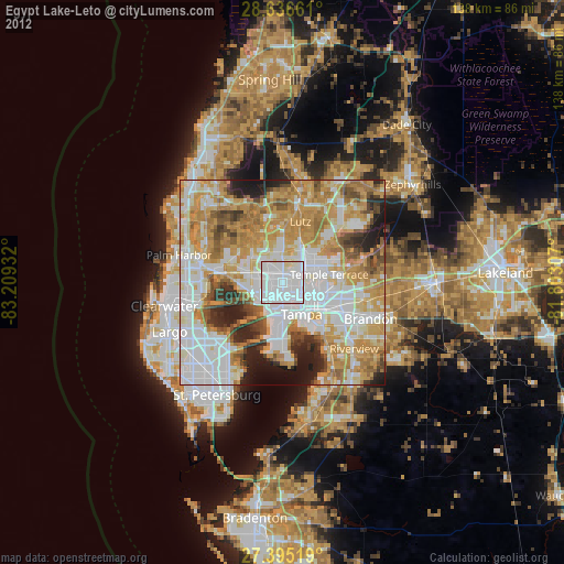
» Earth at Night: Flat Maps 2012, 2016