Citrus Park night lights from space
Night Light of Citrus Park (Florida) from space (United States) Src. Average luminocity for 10x10km area is 83.7386% and for 50x50km: 70.8683%.
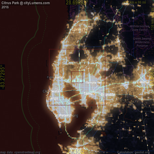
Analysis of Citrus Park night lights 2016
Square area 10x10 km:
 18.94%
90-99
21.78%80-89
18.75%70-79
17.42%60-69
20.27%50-59
2.65%40-49
0.19%30-39
0%20-29
0%10-19
0%0-9
0%Square area 50x50 km:
21.83%90-99
16.41%80-89
7.55%70-79
9.87%60-69
15.14%50-59
6.3%40-49
4.61%30-39
4.55%20-29
6.99%10-19
5.12%0-9
1.64%Clear (daylight) street map image can be seen on geolist.org.
Map coordinates:
28° 41' 48.9" North, 83° 16' 22.6" West
28° 4' 42.1" North, 82° 34' 11.4" West
27° 27' 22.3" North, 81° 52' 0.1" West
Some cities around Citrus Park sort by population:
• Town 'n' Country
7.6 km =4.7 mi,  185°
185°
• Carrollwood Village
4.9 km =3 mi,  104°
104°
• Egypt Lake-Leto
9.2 km =5.7 mi,  137°
137°
• Carrollwood
8.2 km =5.1 mi,  112°
112°
• Northdale
6.5 km =4 mi,  74°
74°
• Greater Northdale
5.3 km =3.3 mi,  55°
55°
• Westchase
4.7 km =2.9 mi,  236°
236°
• Cheval
9.5 km =5.9 mi,  34°
34°
4151157 (p: 24,252)
Sources (retrieved 2019-11-25):
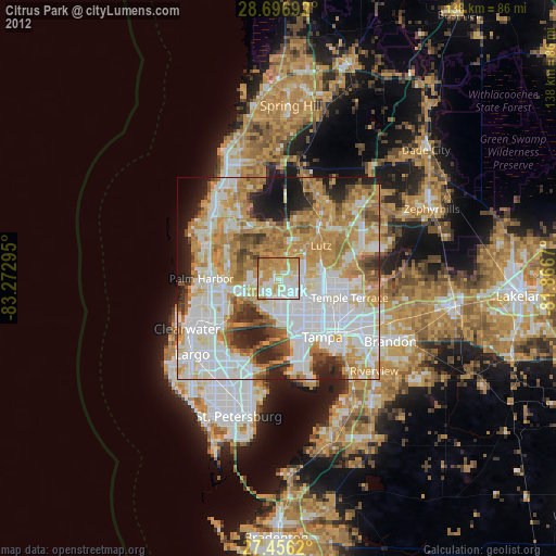
» Earth at Night: Flat Maps 2012, 2016