Edmond night lights from space
Night Light of Edmond (Oklahoma) from space (United States) Src. Average luminocity for 10x10km area is 84.7745% and for 50x50km: 42.1396%.
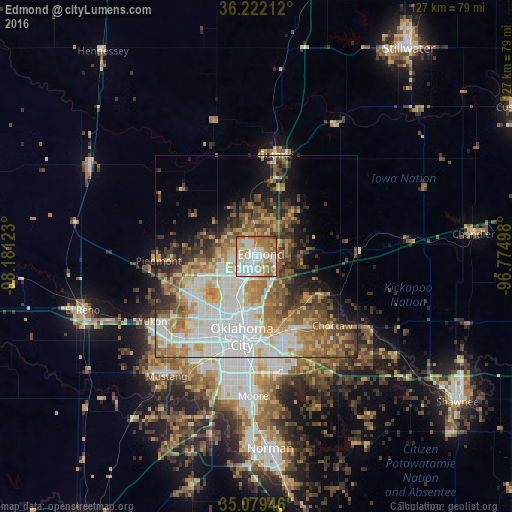
Analysis of Edmond night lights 2016
Square area 10x10 km:
 25.87%
90-99
26.05%80-89
8.04%70-79
14.34%60-69
20.1%50-59
4.9%40-49
0%30-39
0.7%20-29
0%10-19
0%0-9
0%Square area 50x50 km:
10.16%90-99
8.01%80-89
5.76%70-79
6.06%60-69
7.39%50-59
5.89%40-49
4.93%30-39
5.27%20-29
5.11%10-19
7.42%0-9
33.99%Clear (daylight) street map image can be seen on geolist.org.
Map coordinates:
36° 13' 19.6" North, 98° 10' 52.4" West
35° 39' 10.2" North, 97° 28' 41.2" West
35° 4' 46.1" North, 96° 46' 29.9" West
Some cities around Edmond sort by population:
• Oklahoma City
20.9 km =13 mi,  189°
189°
• Midwest City
23.8 km =14.8 mi,  161°
161°
• Del City
23.7 km =14.7 mi,  171°
171°
• Bethany
20.4 km =12.7 mi,  223°
223°
• Guthrie
25.6 km =15.9 mi,  10°
10°
• Warr Acres
19.3 km =12 mi, 221°
• The Village
12.2 km =7.6 mi,  212°
212°
• Piedmont
24.3 km =15.1 mi,  267°
267°
4535740 (p: 90,092)
Sources (retrieved 2019-11-25):
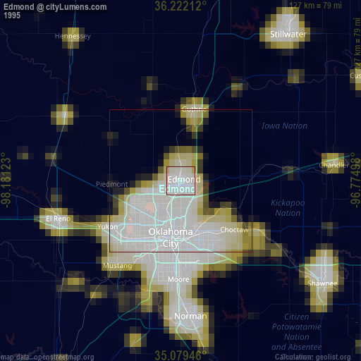
» NASA, Earths city lights 1995
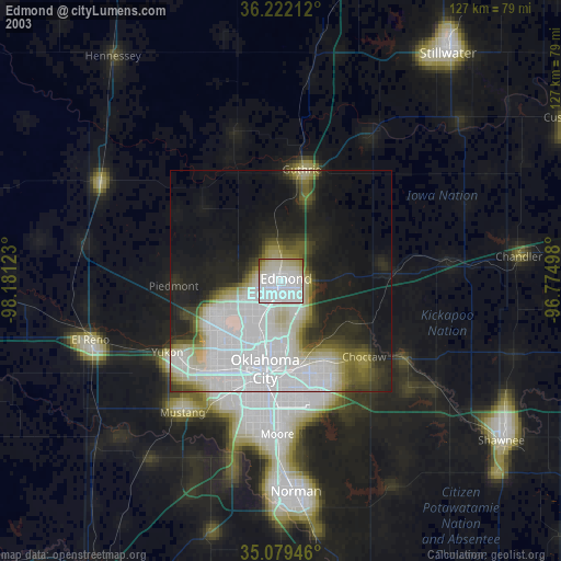
» NASA city lights 2003
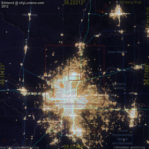
» Earth at Night: Flat Maps 2012, 2016