Easton night lights from space
Night Light of Easton (Pennsylvania) from space (United States) Src. Average luminocity for 10x10km area is 64.6769% and for 50x50km: 21.2644%.
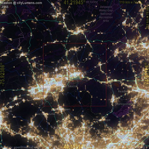
Analysis of Easton night lights 2016
Square area 10x10 km:
 15.26%
90-99
10.88%80-89
2.6%70-79
12.18%60-69
18.18%50-59
14.61%40-49
4.87%30-39
6.17%20-29
12.66%10-19
2.6%0-9
0%Square area 50x50 km:
3.35%90-99
3.28%80-89
2.17%70-79
2.95%60-69
3.66%50-59
3.61%40-49
3.08%30-39
3.87%20-29
4.25%10-19
9.37%0-9
60.4%Clear (daylight) street map image can be seen on geolist.org.
Map coordinates:
41° 13' 10" North, 75° 55' 25.9" West
40° 41' 18.3" North, 75° 13' 14.6" West
40° 9' 11.3" North, 74° 31' 3.4" West
Some cities around Easton sort by population:
• Bethlehem
14.4 km =8.9 mi,  241°
241°
• Phillipsburg
2.6 km =1.6 mi,  77°
77°
• Wilson
1.8 km =1.1 mi,  254°
254°
• Middletown
10.6 km =6.6 mi, 242°
• Catasauqua
21.7 km =13.5 mi,  260°
260°
• Hellertown
15.8 km =9.8 mi,  219°
219°
• Nazareth
9.5 km =5.9 mi,  307°
307°
• Bangor
19.7 km =12.2 mi,  3°
3°
5188140 (p: 26,915)
Sources (retrieved 2019-11-25):
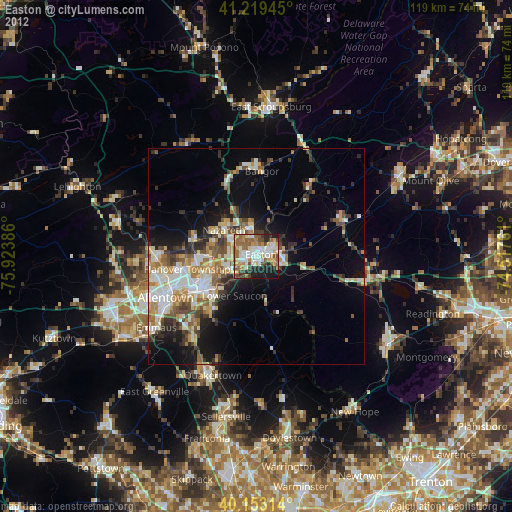
» Earth at Night: Flat Maps 2012, 2016