Eastmont night lights from space
Night Light of Eastmont (Washington) from space (United States) Src. Average luminocity for 10x10km area is 62.8409% and for 50x50km: 24.9579%.
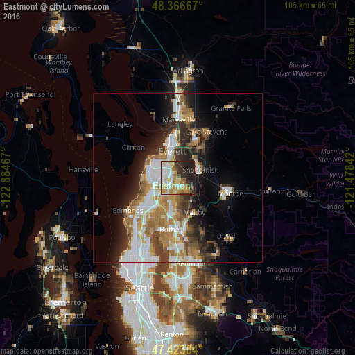
Analysis of Eastmont night lights 2016
Square area 10x10 km:
 12.93%
90-99
14.91%80-89
9.23%70-79
15.06%60-69
7.39%50-59
4.4%40-49
2.7%30-39
7.24%20-29
14.63%10-19
11.51%0-9
0%Square area 50x50 km:
5.21%90-99
5.39%80-89
2.1%70-79
3.74%60-69
4.55%50-59
2.8%40-49
2.74%30-39
3.36%20-29
5.7%10-19
7.42%0-9
56.98%Clear (daylight) street map image can be seen on geolist.org.
Map coordinates:
48° 22' 0" North, 122° 53' 4.8" West
47° 53' 50.6" North, 122° 10' 53.5" West
47° 25' 25.8" North, 121° 28' 42.3" West
Some cities around Eastmont sort by population:
• Everett
9.2 km =5.7 mi,  350°
350°
• North Creek
8.7 km =5.4 mi,  177°
177°
• Silver Firs
4 km =2.5 mi,  150°
150°
• Mill Creek
4.5 km =2.8 mi,  202°
202°
• Mill Creek East
6.8 km =4.2 mi, 183°
• Martha Lake
6.7 km =4.2 mi,  219°
219°
• Snohomish
6.4 km =4 mi,  74°
74°
• Lake Stickney
6.4 km =4 mi,  248°
248°
7315412 (p: 20,101)
Sources (retrieved 2019-11-25):
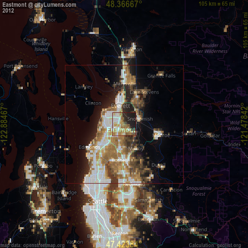
» Earth at Night: Flat Maps 2012, 2016