Lake Stickney night lights from space
Night Light of Lake Stickney (Washington) from space (United States) Src. Average luminocity for 10x10km area is 85.2216% and for 50x50km: 26.9089%.
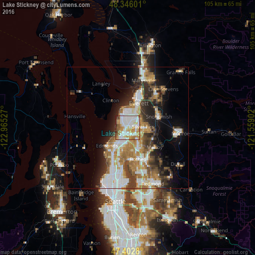
Analysis of Lake Stickney night lights 2016
Square area 10x10 km:
 29.69%
90-99
26.99%80-89
8.1%70-79
17.33%60-69
7.67%50-59
4.69%40-49
1.99%30-39
2.13%20-29
1.42%10-19
0%0-9
0%Square area 50x50 km:
5.98%90-99
5.8%80-89
2.23%70-79
3.91%60-69
4.72%50-59
2.94%40-49
3%30-39
3.89%20-29
5.66%10-19
7.52%0-9
54.36%Clear (daylight) street map image can be seen on geolist.org.
Map coordinates:
48° 20' 45.6" North, 122° 57' 55" West
47° 52' 35.6" North, 122° 15' 43.7" West
47° 24' 10.1" North, 121° 33' 32.5" West
Some cities around Lake Stickney sort by population:
• Lynnwood
7.3 km =4.5 mi,  212°
212°
• Picnic Point-North Lynnwood
2.9 km =1.8 mi,  237°
237°
• Eastmont
6.4 km =4 mi,  68°
68°
• Mill Creek
4.7 km =2.9 mi,  112°
112°
• Mill Creek East
7.2 km =4.5 mi,  129°
129°
• Martha Lake
3.3 km =2.1 mi,  149°
149°
• Picnic Point
5 km =3.1 mi,  275°
275°
• Alderwood Manor
6.2 km =3.9 mi,  193°
193°
8479422 (p: 7,777)
Sources (retrieved 2019-11-25):
» Earth at Night: Flat Maps 2012, 2016