North Creek night lights from space
Night Light of North Creek (Washington) from space (United States) Src. Average luminocity for 10x10km area is 62.3348% and for 50x50km: 31.4124%.
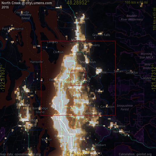
Analysis of North Creek night lights 2016
Square area 10x10 km:
 7.89%
7.89%90-99
8.18%80-89
7.44%70-79
18.75%60-69
17.11%50-59
7.59%40-49
10.42%30-39
11.9%20-29
8.04%10-19
2.68%0-9
0%Square area 50x50 km:
7.64%90-99
6.95%80-89
2.35%70-79
4.32%60-69
5.28%50-59
3.39%40-49
3.85%30-39
4.82%20-29
6.03%10-19
7.35%0-9
48.02%Clear (daylight) street map image can be seen on geolist.org.
Map coordinates:
48° 17' 22.3" North, 122° 52' 45.7" West
47° 49' 10.3" North, 122° 10' 34.5" West
47° 20' 43" North, 121° 28' 23.2" West
Some cities around North Creek sort by population:
• Bothell
6.7 km =4.2 mi,  198°
198°
• Silver Firs
5.4 km =3.4 mi,  16°
16°
• Mill Creek
5 km =3.1 mi,  335°
335°
• Bothell West
5.1 km =3.2 mi,  251°
251°
• Mill Creek East
2 km =1.2 mi, 335°
• Martha Lake
5.9 km =3.7 mi,  306°
306°
• Maltby
5 km =3.1 mi,  108°
108°
• Bothell East
1.6 km =1 mi, 202°
5804953 (p: 26,410)
Sources (retrieved 2019-11-25):
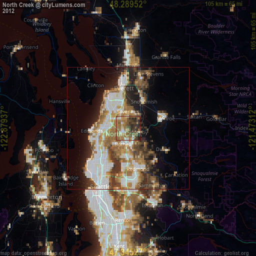
» Earth at Night: Flat Maps 2012, 2016