Snohomish night lights from space
Night Light of Snohomish (Washington) from space (United States) Src. Average luminocity for 10x10km area is 24.392% and for 50x50km: 23.3521%.
Analysis of Snohomish night lights 2016
Square area 10x10 km:
 2.13%
2.13%90-99
2.41%80-89
1.28%70-79
3.69%60-69
3.27%50-59
3.13%40-49
2.7%30-39
2.27%20-29
16.76%10-19
31.96%0-9
30.4%Square area 50x50 km:
4.42%90-99
4.86%80-89
2.02%70-79
3.68%60-69
4.52%50-59
2.77%40-49
2.65%30-39
3.11%20-29
5.76%10-19
7.46%0-9
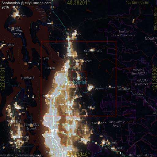
58.76%Clear (daylight) street map image can be seen on geolist.org.
Map coordinates:
48° 22' 55.2" North, 122° 48' 4.7" West
47° 54' 46.4" North, 122° 5' 53.4" West
47° 26' 22.1" North, 121° 23' 42.2" West
Some cities around Snohomish sort by population:
• Everett
10.7 km =6.6 mi,  313°
313°
• Lake Stevens
11.7 km =7.3 mi,  12°
12°
• West Lake Stevens
9 km =5.6 mi,  358°
358°
• Silver Firs
6.7 km =4.2 mi,  219°
219°
• Eastmont
6.4 km =4 mi,  254°
254°
• Mill Creek
9.9 km =6.2 mi,  233°
233°
• Monroe
11.4 km =7.1 mi,  123°
123°
• Mill Creek East
10.8 km =6.7 mi, 217°
5810988 (p: 9,670)
Sources (retrieved 2019-11-25):
» Earth at Night: Flat Maps 2012, 2016