East Honolulu night lights from space
Night Light of East Honolulu (Hawaii) from space (United States) Src. Average luminocity for 10x10km area is 29.8068% and for 50x50km: 11.6648%.
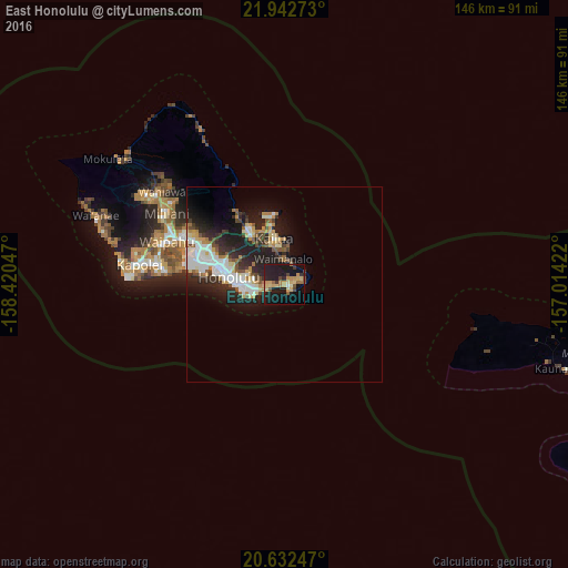
Analysis of East Honolulu night lights 2016
Square area 10x10 km:
 0.38%
0.38%90-99
1.52%80-89
6.82%70-79
8.9%60-69
2.84%50-59
3.03%40-49
3.98%30-39
2.65%20-29
7.95%10-19
45.45%0-9
16.48%Square area 50x50 km:
2.07%90-99
2.29%80-89
1.33%70-79
1.48%60-69
1.11%50-59
1.16%40-49
1.29%30-39
1.53%20-29
4.33%10-19
8.19%0-9
75.22%Clear (daylight) street map image can be seen on geolist.org.
Map coordinates:
21° 56' 33.8" North, 158° 25' 13.7" West
21° 17' 20.6" North, 157° 43' 2.4" West
20° 37' 56.9" North, 157° 0' 51.2" West
Some cities around East Honolulu sort by population:
• Honolulu
14.7 km =9.1 mi,  277°
277°
• Kailua
12.8 km =8 mi,  349°
349°
• Kaneohe
14.9 km =9.3 mi,  325°
325°
• Hālawa
23.4 km =14.5 mi,  295°
295°
• Hālawa Heights
22.7 km =14.1 mi, 296°
• Marine Corps Base Hawaii - MCBH
17.5 km =10.9 mi, 348°
• ‘Āhuimanu
21.3 km =13.2 mi,  324°
324°
• Waimanalo
6.4 km =4 mi, 353°
7315245 (p: 49,914)
Sources (retrieved 2019-11-25):
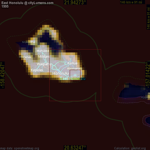
» NASA, Earths city lights 1995
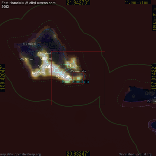
» NASA city lights 2003
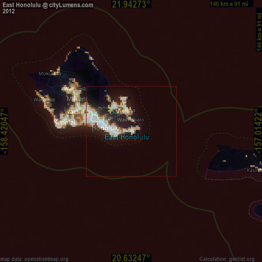
» Earth at Night: Flat Maps 2012, 2016