Kaneohe night lights from space
Night Light of Kaneohe (Hawaii) from space (United States) Src. Average luminocity for 10x10km area is 38.5606% and for 50x50km: 16.7055%.
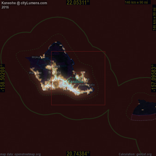
Analysis of Kaneohe night lights 2016
Square area 10x10 km:
 1.7%
1.7%90-99
5.87%80-89
6.06%70-79
7.01%60-69
3.22%50-59
5.49%40-49
7.39%30-39
6.06%20-29
22.92%10-19
33.71%0-9
0.57%Square area 50x50 km:
2.77%90-99
2.83%80-89
1.73%70-79
2.43%60-69
2.65%50-59
2.27%40-49
2.26%30-39
1.9%20-29
5.59%10-19
9.6%0-9
65.97%Clear (daylight) street map image can be seen on geolist.org.
Map coordinates:
22° 3' 11.2" North, 158° 30' 7.5" West
21° 23' 59.8" North, 157° 47' 56.2" West
20° 44' 37.8" North, 157° 5' 45" West
Some cities around Kaneohe sort by population:
• Honolulu
12 km =7.5 mi,  210°
210°
• Kailua
6.1 km =3.8 mi,  87°
87°
• Hālawa
12.9 km =8 mi,  259°
259°
• Hālawa Heights
12.1 km =7.5 mi, 258°
• Marine Corps Base Hawaii - MCBH
7 km =4.3 mi,  46°
46°
• ‘Aiea
14.1 km =8.8 mi, 261°
• ‘Āhuimanu
6.4 km =4 mi,  321°
321°
• Waimanalo
9.8 km =6.1 mi,  127°
127°
5848189 (p: 34,597)
Sources (retrieved 2019-11-25):
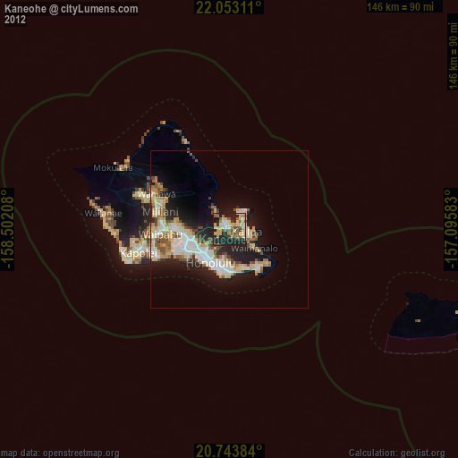
» Earth at Night: Flat Maps 2012, 2016