Dover night lights from space
Night Light of Dover (Delaware) from space (United States) Src. Average luminocity for 10x10km area is 74.4773% and for 50x50km: 10.5122%.
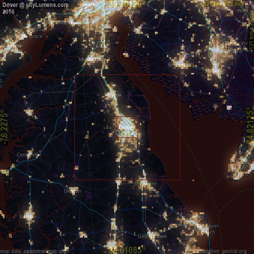
Analysis of Dover night lights 2016
Square area 10x10 km:
 22.89%
90-99
18.51%80-89
10.55%70-79
13.15%60-69
6.33%50-59
6.66%40-49
3.9%30-39
9.58%20-29
6.49%10-19
1.95%0-9
0%Square area 50x50 km:
1.28%90-99
1.04%80-89
1.5%70-79
1.71%60-69
1.36%50-59
1.16%40-49
1.28%30-39
2.59%20-29
3.4%10-19
7.78%0-9
76.9%Clear (daylight) street map image can be seen on geolist.org.
Map coordinates:
39° 42' 4.5" North, 76° 13' 39" West
39° 9' 29.4" North, 75° 31' 27.7" West
38° 36' 39.1" North, 74° 49' 16.5" West
Some cities around Dover sort by population:
• Millville
49.8 km =30.9 mi,  56°
56°
• Bridgeton
39 km =24.2 mi,  39°
39°
• Middletown
36.4 km =22.6 mi,  332°
332°
• Glasgow
53.2 km =33.1 mi,  339°
339°
• Smyrna
17.2 km =10.7 mi, 336°
• Milford
28.5 km =17.7 mi,  163°
163°
• Villas
52.6 km =32.7 mi,  105°
105°
• Chestertown
47.1 km =29.3 mi,  276°
276°
4142290 (p: 37,522)
Sources (retrieved 2019-11-25):
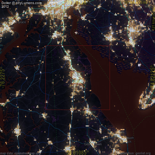
» Earth at Night: Flat Maps 2012, 2016