Middletown night lights from space
Night Light of Middletown (Delaware) from space (United States) Src. Average luminocity for 10x10km area is 40.9133% and for 50x50km: 18.8948%.
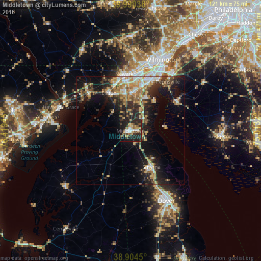
Analysis of Middletown night lights 2016
Square area 10x10 km:
 5.44%
5.44%90-99
5.1%80-89
4.08%70-79
4.93%60-69
5.95%50-59
7.65%40-49
9.18%30-39
4.25%20-29
26.36%10-19
24.32%0-9
2.72%Square area 50x50 km:
1.99%90-99
2.52%80-89
2.8%70-79
3.18%60-69
2.94%50-59
2.35%40-49
2.85%30-39
3.68%20-29
6.4%10-19
11.64%0-9
59.66%Clear (daylight) street map image can be seen on geolist.org.
Map coordinates:
39° 59' 25.4" North, 76° 25' 10" West
39° 26' 58.4" North, 75° 42' 58.8" West
38° 54' 16.2" North, 75° 0' 47.5" West
Some cities around Middletown sort by population:
• Newark
26.2 km =16.3 mi,  353°
353°
• Bear
20.6 km =12.8 mi,  13°
13°
• Elkton
20.2 km =12.6 mi,  330°
330°
• Brookside
24.2 km =15 mi,  357°
357°
• Glasgow
17.4 km =10.8 mi, 351°
• Pennsville
28.4 km =17.6 mi,  37°
37°
• Smyrna
19.2 km =11.9 mi,  150°
150°
• New Castle
26.9 km =16.7 mi,  28°
28°
4143637 (p: 20,372)
Sources (retrieved 2019-11-25):
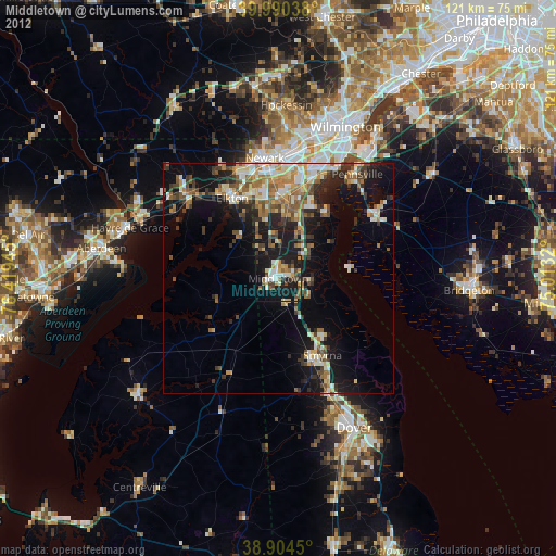
» Earth at Night: Flat Maps 2012, 2016