Bridgeton night lights from space
Night Light of Bridgeton (New Jersey) from space (United States) Src. Average luminocity for 10x10km area is 38.9558% and for 50x50km: 12.7501%.
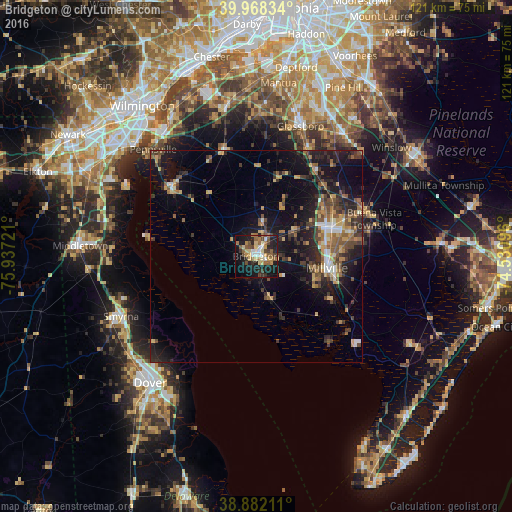
Analysis of Bridgeton night lights 2016
Square area 10x10 km:
 3.74%
3.74%90-99
4.76%80-89
8.16%70-79
3.4%60-69
7.82%50-59
7.14%40-49
6.29%30-39
4.76%20-29
11.05%10-19
31.97%0-9
10.88%Square area 50x50 km:
0.86%90-99
1.12%80-89
1.55%70-79
1.69%60-69
1.97%50-59
2.2%40-49
2.4%30-39
2.82%20-29
4.52%10-19
11.13%0-9
69.73%Clear (daylight) street map image can be seen on geolist.org.
Map coordinates:
39° 58' 6" North, 75° 56' 14" West
39° 25' 38.4" North, 75° 14' 2.7" West
38° 52' 55.6" North, 74° 31' 51.5" West
Some cities around Bridgeton sort by population:
• Vineland
19 km =11.8 mi,  69°
69°
• South Vineland
17.8 km =11.1 mi,  83°
83°
• Millville
17 km =10.6 mi,  99°
99°
• Glassboro
32.4 km =20.1 mi,  18°
18°
• Pennsville
34.9 km =21.7 mi,  316°
316°
• Smyrna
34.9 km =21.7 mi,  246°
246°
• Pitman
35.1 km =21.8 mi,  14°
14°
• Clayton
28.6 km =17.8 mi,  25°
25°
4500942 (p: 25,031)
Sources (retrieved 2019-11-25):
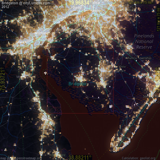
» Earth at Night: Flat Maps 2012, 2016