Douglasville night lights from space
Night Light of Douglasville (Georgia) from space (United States) Src. Average luminocity for 10x10km area is 74.9505% and for 50x50km: 54.6318%.
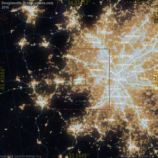
Analysis of Douglasville night lights 2016
Square area 10x10 km:
 13.37%
90-99
17.77%80-89
7.33%70-79
13.37%60-69
30.59%50-59
10.07%40-49
3.48%30-39
4.03%20-29
0%10-19
0%0-9
0%Square area 50x50 km:
9.37%90-99
10.26%80-89
9.26%70-79
12.46%60-69
12.05%50-59
6.34%40-49
3.86%30-39
5.21%20-29
6.51%10-19
9.12%0-9
15.55%Clear (daylight) street map image can be seen on geolist.org.
Map coordinates:
34° 20' 2.8" North, 85° 27' 3" West
33° 45' 5.4" North, 84° 44' 51.8" West
33° 9' 53.6" North, 84° 2' 40.5" West
Some cities around Douglasville sort by population:
• Smyrna
26.1 km =16.2 mi,  55°
55°
• Mableton
17 km =10.6 mi, 63°
• Lithia Springs
9.3 km =5.8 mi, 59°
• Villa Rica
16 km =9.9 mi,  262°
262°
• Powder Springs
13.4 km =8.3 mi,  26°
26°
• Fairburn
25.7 km =16 mi,  143°
143°
• Dallas
21 km =13 mi,  335°
335°
• Austell
12.5 km =7.8 mi, 57°
4191955 (p: 32,897)
Sources (retrieved 2019-11-25):
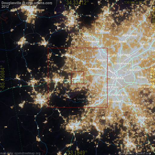
» Earth at Night: Flat Maps 2012, 2016