Dixiana night lights from space
Night Light of Dixiana (Alabama) from space (United States) Src. Average luminocity for 10x10km area is 27.3755% and for 50x50km: 28.3298%.
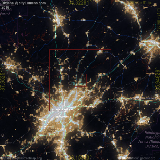
Analysis of Dixiana night lights 2016
Square area 10x10 km:
 0.92%
0.92%90-99
0.92%80-89
2.75%70-79
5.31%60-69
3.66%50-59
4.58%40-49
4.95%30-39
9.89%20-29
14.65%10-19
27.47%0-9
24.91%Square area 50x50 km:
4.9%90-99
3.57%80-89
3.96%70-79
5.12%60-69
4.87%50-59
3.53%40-49
3.93%30-39
5.12%20-29
6.28%10-19
10.94%0-9
47.78%Clear (daylight) street map image can be seen on geolist.org.
Map coordinates:
34° 19' 22.5" North, 87° 21' 9" West
33° 44' 24.8" North, 86° 38' 57.8" West
33° 9' 12.7" North, 85° 56' 46.5" West
Some cities around Dixiana sort by population:
• Trussville
13.9 km =8.6 mi,  164°
164°
• Center Point
11 km =6.8 mi,  196°
196°
• Gardendale
17.5 km =10.9 mi,  239°
239°
• Clay
6.2 km =3.9 mi,  132°
132°
• Fultondale
20.1 km =12.5 mi,  221°
221°
• Pinson
6.5 km =4 mi,  208°
208°
• Tarrant
20.8 km =12.9 mi, 213°
• Grayson Valley
10.3 km =6.4 mi,  174°
174°
8605041 (p: 22,940)
Sources (retrieved 2019-11-25):
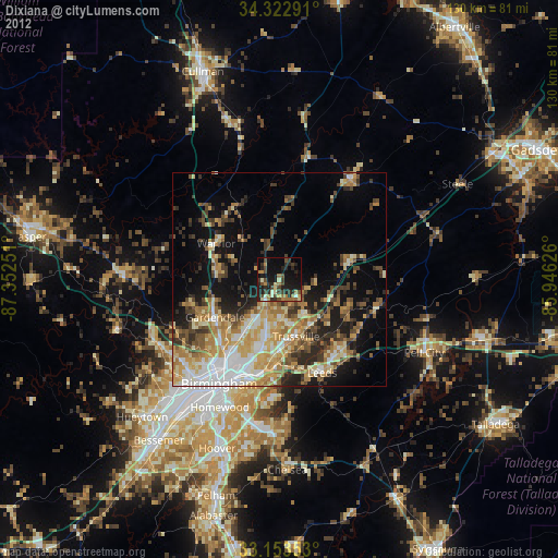
» Earth at Night: Flat Maps 2012, 2016