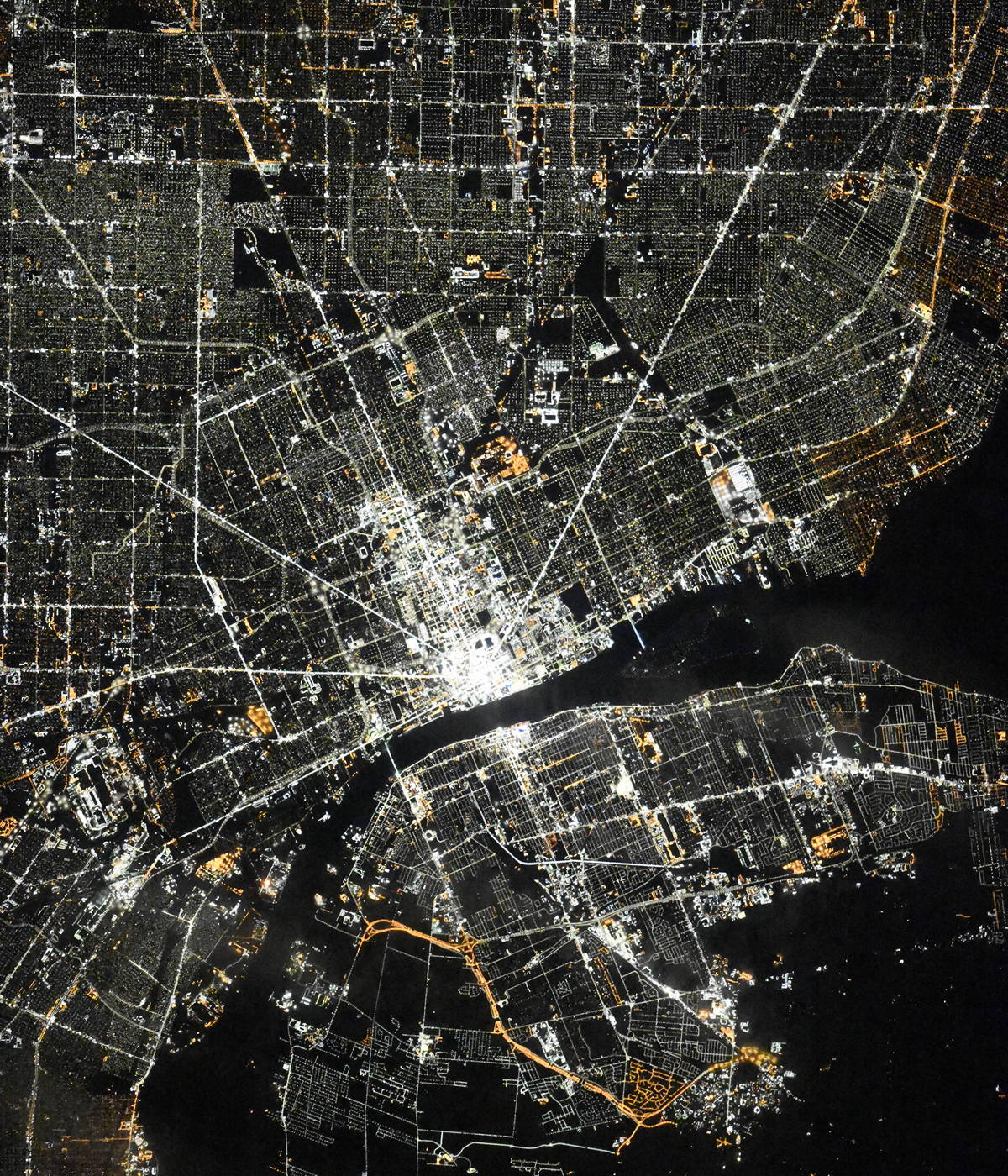
Detroit night lights from space
Night Light of Detroit (Michigan) from space (United States) Src. Average luminocity for 10x10km area is 98.7921% and for 50x50km: 64.9686%.
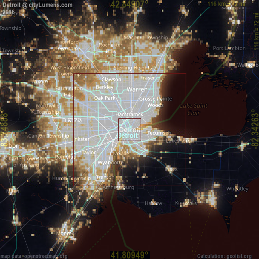
Analysis of Detroit night lights 2016
Square area 10x10 km:
 71.9%
71.9%90-99
23.33%80-89
4.76%70-79
0%60-69
0%50-59
0%40-49
0%30-39
0%20-29
0%10-19
0%0-9
0%Square area 50x50 km:
32.31%90-99
18.22%80-89
4.74%70-79
4%60-69
3.69%50-59
2.77%40-49
2.23%30-39
2.3%20-29
4.17%10-19
5.22%0-9
20.35%Clear (daylight) street map image can be seen on geolist.org.
Map coordinates:
42° 50' 56.7" North, 83° 44' 56" West
42° 19' 53.1" North, 83° 2' 44.7" West
41° 48' 34.2" North, 82° 20' 33.5" West
Fantastic image of Detroit from space taken by astronauts [src2], but I don't have information about it's orientation, scale or angle. If necessary, it was rotated manually, so North points approximately to upper direction. Click to zoom in:
Some cities around Detroit sort by population:
• Windsor, CA
4.2 km =2.6 mi,  145°
145°
• Dearborn
10.8 km =6.7 mi,  264°
264°
• Hamtramck
6.8 km =4.2 mi,  357°
357°
• Grosse Pointe Park
10.2 km =6.3 mi,  60°
60°
• Highland Park
9.3 km =5.8 mi,  333°
333°
• Melvindale
12 km =7.5 mi,  242°
242°
• River Rouge
9.7 km =6 mi,  228°
228°
• Grosse Pointe
12.6 km =7.8 mi, 61°
4990729 (p: 677,116)
Sources (retrieved 2019-11-25):
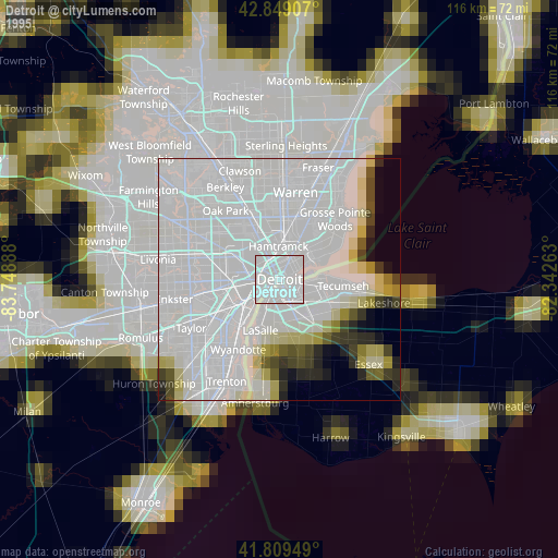
» NASA, Earths city lights 1995
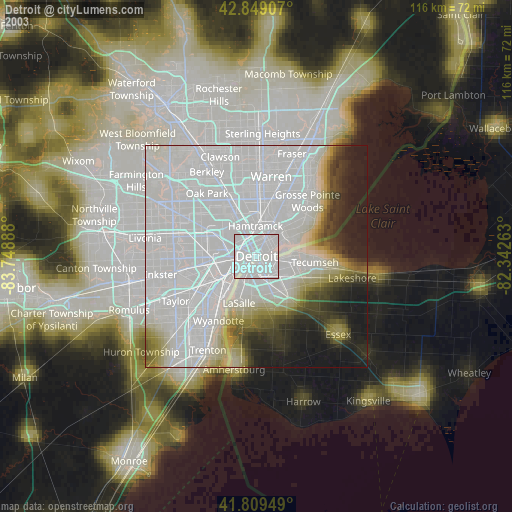
» NASA city lights 2003
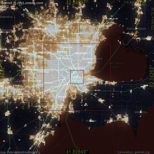
» Earth at Night: Flat Maps 2012, 2016
Src.2: picture by Oleg Kononenko,ĀRoscosmos, retrieved 2019-11-29