DeKalb night lights from space
Night Light of DeKalb (Illinois) from space (United States) Src. Average luminocity for 10x10km area is 55.5698% and for 50x50km: 8.734%.
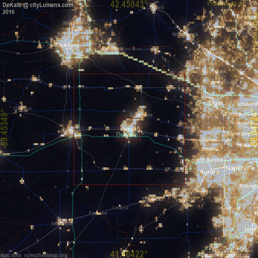
Analysis of DeKalb night lights 2016
Square area 10x10 km:
 11.9%
11.9%90-99
10%80-89
14.92%70-79
4.44%60-69
5.4%50-59
5.87%40-49
6.98%30-39
4.29%20-29
14.6%10-19
20.16%0-9
1.43%Square area 50x50 km:
0.77%90-99
0.84%80-89
1.72%70-79
0.96%60-69
0.98%50-59
0.93%40-49
1.38%30-39
1.13%20-29
3.15%10-19
7.49%0-9
80.65%Clear (daylight) street map image can be seen on geolist.org.
Map coordinates:
42° 27' 1.5" North, 89° 27' 12.6" West
41° 55' 46.1" North, 88° 45' 1.3" West
41° 24' 15.2" North, 88° 2' 50.1" West
Some cities around DeKalb sort by population:
• Wasco
28.6 km =17.8 mi,  88°
88°
• Sycamore
8.4 km =5.2 mi,  38°
38°
• Village of Campton Hills
29.2 km =18.1 mi, 88°
• Sugar Grove
31.5 km =19.6 mi,  126°
126°
• Rochelle
26.3 km =16.3 mi,  268°
268°
• Hampshire
26.1 km =16.2 mi, 44°
• Elburn
23.4 km =14.5 mi,  100°
100°
• Genoa
19.3 km =12 mi,  14°
14°
4889553 (p: 43,211)
Sources (retrieved 2019-11-25):
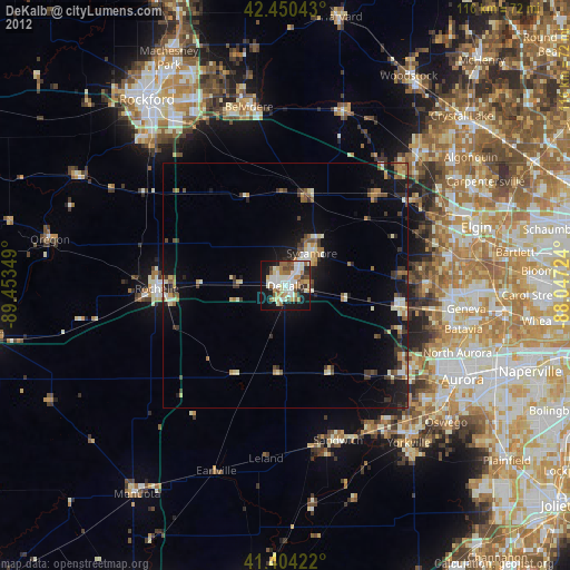
» Earth at Night: Flat Maps 2012, 2016