DeBary night lights from space
Night Light of DeBary (Florida) from space (United States) Src. Average luminocity for 10x10km area is 57.5492% and for 50x50km: 31.5864%.
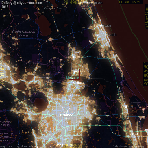
Analysis of DeBary night lights 2016
Square area 10x10 km:
 7.39%
7.39%90-99
10.04%80-89
4.55%70-79
4.36%60-69
21.97%50-59
11.17%40-49
7.2%30-39
19.7%20-29
10.42%10-19
3.22%0-9
0%Square area 50x50 km:
4.4%90-99
5.43%80-89
2.92%70-79
4.79%60-69
10.48%50-59
4.11%40-49
3.35%30-39
5.1%20-29
5.93%10-19
9.66%0-9
43.83%Clear (daylight) street map image can be seen on geolist.org.
Map coordinates:
29° 29' 48.8" North, 82° 0' 42.5" West
28° 52' 59" North, 81° 18' 31.2" West
28° 15' 56.1" North, 80° 36' 20" West
Some cities around DeBary sort by population:
• Deltona
4.8 km =3 mi,  66°
66°
• Sanford
9.8 km =6.1 mi,  159°
159°
• Winter Springs
20.5 km =12.7 mi,  179°
179°
• DeLand
16.2 km =10.1 mi,  1°
1°
• Lake Mary
13.8 km =8.6 mi, 183°
• Longwood
20.2 km =12.6 mi,  188°
188°
• Orange City
7.4 km =4.6 mi,  7°
7°
• Heathrow
14.7 km =9.1 mi,  204°
204°
4152926 (p: 19,998)
Sources (retrieved 2019-11-25):
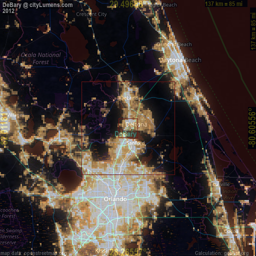
» Earth at Night: Flat Maps 2012, 2016