Longwood night lights from space
Night Light of Longwood (Florida) from space (United States) Src. Average luminocity for 10x10km area is 87.447% and for 50x50km: 58.5339%.
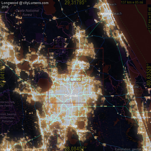
Analysis of Longwood night lights 2016
Square area 10x10 km:
 22.35%
90-99
25.19%80-89
20.45%70-79
27.46%60-69
3.79%50-59
0.76%40-49
0%30-39
0%20-29
0%10-19
0%0-9
0%Square area 50x50 km:
16.44%90-99
16.67%80-89
6.77%70-79
7.29%60-69
9.87%50-59
3.7%40-49
3.29%30-39
5.29%20-29
6.47%10-19
7.23%0-9
16.99%Clear (daylight) street map image can be seen on geolist.org.
Map coordinates:
29° 19' 4.6" North, 82° 2' 29.5" West
28° 42' 11" North, 81° 20' 18.2" West
28° 5' 4.3" North, 80° 38' 7" West
Some cities around Longwood sort by population:
• Altamonte Springs
5.4 km =3.4 mi,  209°
209°
• Winter Springs
3 km =1.9 mi,  98°
98°
• Casselberry
3 km =1.9 mi,  159°
159°
• Wekiwa Springs
8.5 km =5.3 mi,  266°
266°
• Maitland
8.7 km =5.4 mi,  196°
196°
• Lake Mary
6.5 km =4 mi,  17°
17°
• Fern Park
6.1 km =3.8 mi,  191°
191°
• Heathrow
7.5 km =4.7 mi,  333°
333°
4162783 (p: 14,085)
Sources (retrieved 2019-11-25):
» Earth at Night: Flat Maps 2012, 2016