Danbury night lights from space
Night Light of Danbury (Connecticut) from space (United States) Src. Average luminocity for 10x10km area is 63.5799% and for 50x50km: 17.467%.
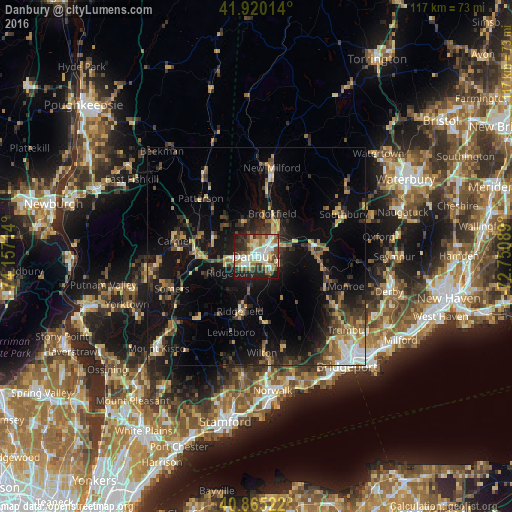
Analysis of Danbury night lights 2016
Square area 10x10 km:
 13.78%
90-99
18.03%80-89
7.65%70-79
5.1%60-69
11.05%50-59
6.29%40-49
9.18%30-39
6.29%20-29
18.37%10-19
4.25%0-9
0%Square area 50x50 km:
1.43%90-99
1.75%80-89
2.26%70-79
2.27%60-69
2.57%50-59
2.25%40-49
2.81%30-39
3.55%20-29
6.07%10-19
15.7%0-9
59.33%Clear (daylight) street map image can be seen on geolist.org.
Map coordinates:
41° 55' 12.5" North, 74° 9' 25.7" West
41° 23' 41.4" North, 73° 27' 14.4" West
40° 51' 54.8" North, 72° 45' 3.2" West
Some cities around Danbury sort by population:
• Wilton
22.2 km =13.8 mi,  176°
176°
• New Fairfield
8.4 km =5.2 mi,  341°
341°
• Bethel
4.2 km =2.6 mi,  128°
128°
• Lake Carmel
19.5 km =12.1 mi,  292°
292°
• Ridgefield
13.1 km =8.1 mi,  196°
196°
• Easton
20.5 km =12.7 mi,  140°
140°
• Carmel Hamlet
19.4 km =12.1 mi,  276°
276°
• New Milford
20.6 km =12.8 mi,  10°
10°
4832353 (p: 84,657)
Sources (retrieved 2019-11-25):
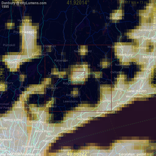
» NASA, Earths city lights 1995
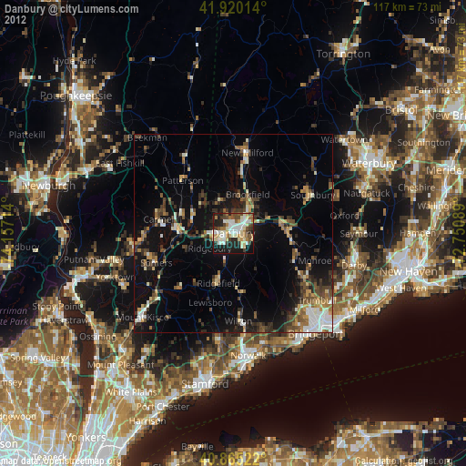
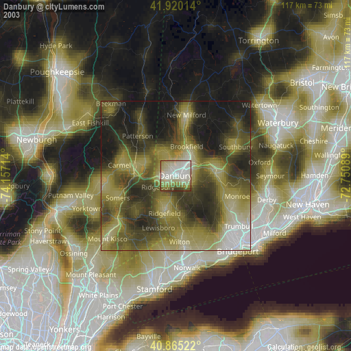
» NASA city lights 2003
» Earth at Night: Flat Maps 2012, 2016