Cynthiana night lights from space
Night Light of Cynthiana (Kentucky) from space (United States) Src. Average luminocity for 10x10km area is 17.3844% and for 50x50km: 4.857%.
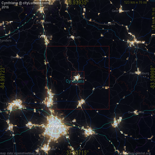
Analysis of Cynthiana night lights 2016
Square area 10x10 km:
 2.04%
2.04%90-99
3.06%80-89
3.4%70-79
1.02%60-69
2.55%50-59
2.72%40-49
1.19%30-39
1.7%20-29
0.68%10-19
8.5%0-9
73.13%Square area 50x50 km:
0.59%90-99
0.77%80-89
0.68%70-79
0.48%60-69
0.8%50-59
0.54%40-49
0.72%30-39
0.75%20-29
1.28%10-19
2.65%0-9
90.74%Clear (daylight) street map image can be seen on geolist.org.
Map coordinates:
38° 56' 21.7" North, 84° 59' 50" West
38° 23' 25.3" North, 84° 17' 38.8" West
37° 50' 13.7" North, 83° 35' 27.5" West
Some cities around Cynthiana sort by population:
• Lexington-Fayette
40.5 km =25.2 mi,  200°
200°
• Lexington
47.5 km =29.5 mi, 199°
• Georgetown
30.6 km =19 mi,  229°
229°
• Winchester
45.6 km =28.3 mi,  167°
167°
• Paris
20.4 km =12.7 mi, 169°
• Versailles
53.5 km =33.2 mi, 225°
• Mount Sterling
48.1 km =29.9 mi,  140°
140°
• Monticello
49.6 km =30.8 mi,  206°
206°
4289323 (p: 6,423)
Sources (retrieved 2019-11-25):
» Earth at Night: Flat Maps 2012, 2016