Greenville night lights from space
Night Light of Greenville (Mississippi) from space (United States) Src. Average luminocity for 10x10km area is 52.8899% and for 50x50km: 5.5373%.
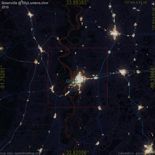
Analysis of Greenville night lights 2016
Square area 10x10 km:
 12.41%
90-99
13.29%80-89
7.17%70-79
5.59%60-69
7.17%50-59
5.42%40-49
4.2%30-39
4.9%20-29
14.16%10-19
17.48%0-9
8.22%Square area 50x50 km:
0.61%90-99
0.97%80-89
0.84%70-79
0.66%60-69
0.65%50-59
0.66%40-49
0.54%30-39
0.78%20-29
1.47%10-19
3.79%0-9
89.04%Clear (daylight) street map image can be seen on geolist.org.
Map coordinates:
33° 59' 38.1" North, 91° 45' 46.5" West
33° 24' 32.3" North, 91° 3' 35.2" West
32° 49' 12.2" North, 90° 21' 24" West
Some cities around Greenville sort by population:
• Clarksdale
98.9 km =61.5 mi,  27°
27°
• Cleveland
48.5 km =30.1 mi,  39°
39°
• Yazoo City
86.6 km =53.8 mi,  135°
135°
• Bastrop
105.9 km =65.8 mi,  228°
228°
• Indianola
37.8 km =23.5 mi,  82°
82°
• Monticello
72.1 km =44.8 mi,  289°
289°
• Warren
95.9 km =59.6 mi,  283°
283°
• Crossett
89.4 km =55.6 mi,  249°
249°
4428475 (p: 32,156)
Sources (retrieved 2019-11-25):
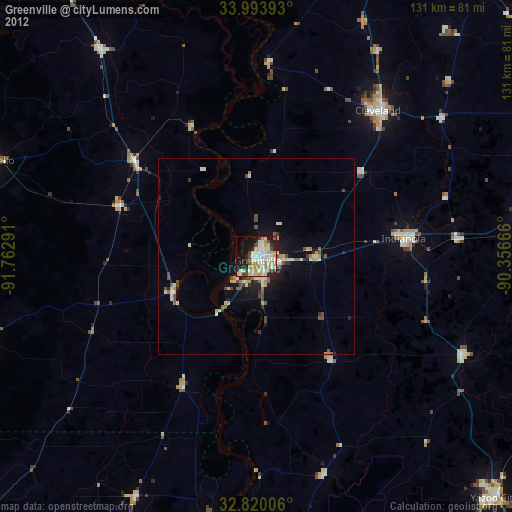
» Earth at Night: Flat Maps 2012, 2016