Crescent City night lights from space
Night Light of Crescent City (California) from space (United States) Src. Average luminocity for 10x10km area is 10.2873% and for 50x50km: 0.5527%.
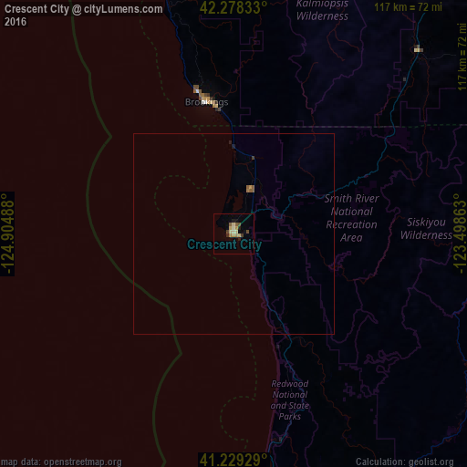
Analysis of Crescent City night lights 2016
Square area 10x10 km:
 0%
0%90-99
0.65%80-89
2.92%70-79
2.27%60-69
1.3%50-59
1.3%40-49
2.27%30-39
0.49%20-29
1.79%10-19
1.79%0-9
85.23%Square area 50x50 km:
0%90-99
0.03%80-89
0.12%70-79
0.12%60-69
0.08%50-59
0.15%40-49
0.09%30-39
0.05%20-29
0.07%10-19
0.12%0-9
99.18%Clear (daylight) street map image can be seen on geolist.org.
Map coordinates:
42° 16' 42" North, 124° 54' 17.6" West
41° 45' 21.4" North, 124° 12' 6.3" West
41° 13' 45.4" North, 123° 29' 55.1" West
Some cities around Crescent City sort by population:
• Medford
126.6 km =78.7 mi,  59°
59°
• Grants Pass
104.6 km =65 mi,  43°
43°
• Eureka
106.1 km =65.9 mi,  178°
178°
• Central Point
126.5 km =78.6 mi, 56°
• Arcata
99.4 km =61.8 mi,  174°
174°
• Bayside
102.2 km =63.5 mi, 173°
• McKinleyville
90.4 km =56.2 mi, 174°
• Brookings
33.7 km =20.9 mi,  348°
348°
5562087 (p: 6,774)
Sources (retrieved 2019-11-25):
» Earth at Night: Flat Maps 2012, 2016