Brookings night lights from space
Night Light of Brookings (Oregon) from space (United States) Src. Average luminocity for 10x10km area is 11.7159% and for 50x50km: 0.6124%.
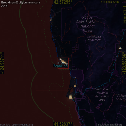
Analysis of Brookings night lights 2016
Square area 10x10 km:
 1.11%
1.11%90-99
0.79%80-89
1.75%70-79
2.06%60-69
1.59%50-59
2.22%40-49
3.17%30-39
1.27%20-29
1.43%10-19
0.48%0-9
84.13%Square area 50x50 km:
0.04%90-99
0.03%80-89
0.07%70-79
0.11%60-69
0.09%50-59
0.19%40-49
0.13%30-39
0.08%20-29
0.06%10-19
0.07%0-9
99.15%Clear (daylight) street map image can be seen on geolist.org.
Map coordinates:
42° 34' 21.2" North, 124° 59' 13.6" West
42° 3' 9.4" North, 124° 17' 2.3" West
41° 31' 42.1" North, 123° 34' 51.1" West
Some cities around Brookings sort by population:
• Medford
120 km =74.6 mi,  75°
75°
• Grants Pass
89.5 km =55.6 mi,  61°
61°
• Central Point
118.2 km =73.4 mi,  72°
72°
• McKinleyville
123.9 km =77 mi,  172°
172°
• Eagle Point
130.5 km =81.1 mi, 69°
• White City
124.9 km =77.6 mi, 69°
• Crescent City
33.7 km =20.9 mi, 168°
• Talent
125.1 km =77.7 mi, 80°
5715905 (p: 6,476)
Sources (retrieved 2019-11-25):
» Earth at Night: Flat Maps 2012, 2016