Crafton night lights from space
Night Light of Crafton (Pennsylvania) from space (United States) Src. Average luminocity for 10x10km area is 90.6003% and for 50x50km: 51.3711%.
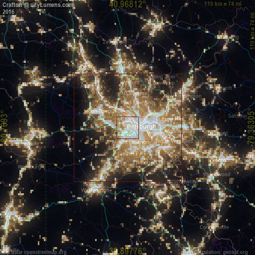
Analysis of Crafton night lights 2016
Square area 10x10 km:
 32.48%
90-99
35.37%80-89
11.39%70-79
7.99%60-69
10.37%50-59
2.21%40-49
0.17%30-39
0%20-29
0%10-19
0%0-9
0%Square area 50x50 km:
8.33%90-99
9.22%80-89
6.04%70-79
7.64%60-69
10.5%50-59
11.31%40-49
8.4%30-39
6.59%20-29
9.94%10-19
11.1%0-9
10.93%Clear (daylight) street map image can be seen on geolist.org.
Map coordinates:
40° 58' 5.2" North, 80° 46' 9.5" West
40° 26' 6.3" North, 80° 3' 58.2" West
39° 53' 51.9" North, 79° 21' 47" West
Some cities around Crafton sort by population:
• Pittsburgh
6 km =3.7 mi,  84°
84°
• Mount Lebanon
9 km =5.6 mi,  170°
170°
• Dormont
5.2 km =3.2 mi,  147°
147°
• Bellevue
6.7 km =4.2 mi,  10°
10°
• Castle Shannon
8.7 km =5.4 mi, 154°
• Carnegie
3.3 km =2.1 mi,  206°
206°
• McKees Rocks
3.4 km =2.1 mi,  0°
0°
• Bridgeville
9.5 km =5.9 mi,  202°
202°
5185721 (p: 5,876)
Sources (retrieved 2019-11-25):
» Earth at Night: Flat Maps 2012, 2016