Coventry night lights from space
Night Light of Coventry (Rhode Island) from space (United States) Src. Average luminocity for 10x10km area is 0.7565% and for 50x50km: 21.4348%.
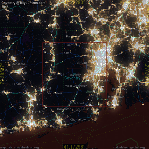
Analysis of Coventry night lights 2016
Square area 10x10 km:
 0%
0%90-99
0%80-89
0%70-79
0%60-69
0%50-59
0%40-49
0%30-39
0.65%20-29
0%10-19
0%0-9
99.35%Square area 50x50 km:
4.78%90-99
3.79%80-89
2.36%70-79
2.86%60-69
3.2%50-59
3.41%40-49
2.55%30-39
2.48%20-29
3.17%10-19
7.89%0-9
63.51%Clear (daylight) street map image can be seen on geolist.org.
Map coordinates:
42° 13' 22.5" North, 72° 23' 9.5" West
41° 42' 0.4" North, 71° 40' 58.2" West
41° 10' 22.7" North, 70° 58' 47" West
Some cities around Coventry sort by population:
• West Warwick
13.4 km =8.3 mi,  91°
91°
• Johnston
19.9 km =12.4 mi,  47°
47°
• Killingly Center
21.8 km =13.5 mi,  314°
314°
• Plainfield
19.5 km =12.1 mi,  262°
262°
• East Greenwich
19.4 km =12.1 mi,  103°
103°
• North Scituate
16.6 km =10.3 mi,  28°
28°
• Exeter
18.2 km =11.3 mi,  138°
138°
• West Greenwich
7.3 km =4.5 mi,  164°
164°
5221637 (p: 35,525)
Sources (retrieved 2019-11-25):
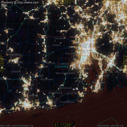
» Earth at Night: Flat Maps 2012, 2016