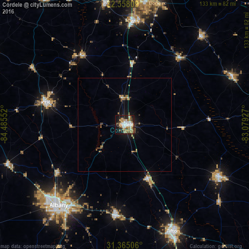
Cordele night lights from space
Night Light of Cordele (Georgia) from space (United States) Src. Average luminocity for 10x10km area is 49.0385% and for 50x50km: 3.8352%.
Analysis of Cordele night lights 2016
Square area 10x10 km:
 8.39%
8.39%90-99
9.97%80-89
2.8%70-79
11.01%60-69
12.59%50-59
4.55%40-49
3.32%30-39
6.12%20-29
9.09%10-19
24.65%0-9
7.52%Square area 50x50 km:
0.37%90-99
0.47%80-89
0.14%70-79
0.8%60-69
0.84%50-59
0.46%40-49
0.51%30-39
0.56%20-29
0.63%10-19
2.89%0-9
92.33%Clear (daylight) street map image can be seen on geolist.org.
Map coordinates:
32° 33' 29.1" North, 84° 29' 7.9" West
31° 57' 48.6" North, 83° 46' 56.6" West
31° 21' 54.2" North, 83° 4' 45.4" West
Some cities around Cordele sort by population:
• Albany
55.5 km =34.5 mi,  219°
219°
• Tifton
62.7 km =39 mi,  155°
155°
• Americus
44.1 km =27.4 mi,  285°
285°
• Perry
55.2 km =34.3 mi,  4°
4°
• Fitzgerald
57.2 km =35.5 mi,  118°
118°
• Sylvester
48.4 km =30.1 mi,  186°
186°
• Hawkinsville
46.1 km =28.6 mi,  39°
39°
• Eastman
62.6 km =38.9 mi,  65°
65°
4189423 (p: 10,943)
Sources (retrieved 2019-11-25):
» Earth at Night: Flat Maps 2012, 2016