Albany night lights from space
Night Light of Albany (Georgia) from space (United States) Src. Average luminocity for 10x10km area is 90.292% and for 50x50km: 14.2315%.
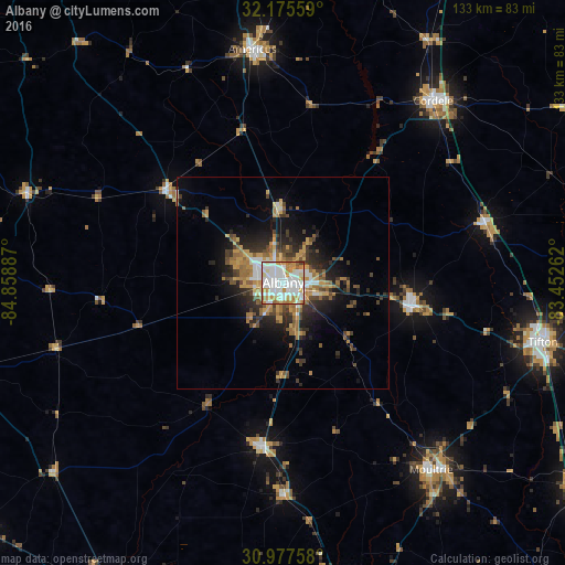
Analysis of Albany night lights 2016
Square area 10x10 km:
 36.54%
90-99
30.77%80-89
7.52%70-79
13.64%60-69
7.87%50-59
2.45%40-49
0.87%30-39
0.35%20-29
0%10-19
0%0-9
0%Square area 50x50 km:
2.14%90-99
2.06%80-89
1.21%70-79
2.97%60-69
2.41%50-59
1.71%40-49
1.95%30-39
2.37%20-29
3.7%10-19
6.36%0-9
73.13%Clear (daylight) street map image can be seen on geolist.org.
Map coordinates:
32° 10' 32.1" North, 84° 51' 31.9" West
31° 34' 42.6" North, 84° 9' 20.7" West
30° 58' 39.3" North, 83° 27' 9.4" West
Some cities around Albany sort by population:
• Thomasville
84.2 km =52.3 mi,  168°
168°
• Tifton
63 km =39.1 mi,  103°
103°
• Americus
55.4 km =34.4 mi,  352°
352°
• Moultrie
56.4 km =35 mi,  141°
141°
• Cordele
55.5 km =34.5 mi,  39°
39°
• Cairo
78.1 km =48.5 mi,  183°
183°
• Sylvester
30.7 km =19.1 mi, 99°
• Camilla
39 km =24.2 mi,  187°
187°
4179320 (p: 74,843)
Sources (retrieved 2019-11-25):
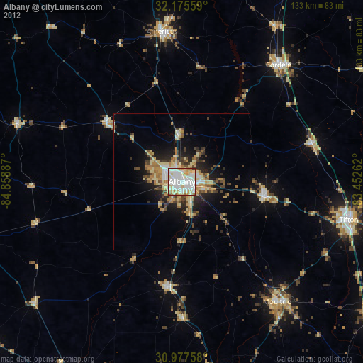
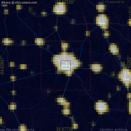
» NASA, Earths city lights 1995
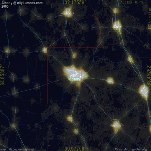
» NASA city lights 2003
» Earth at Night: Flat Maps 2012, 2016