Coraopolis night lights from space
Night Light of Coraopolis (Pennsylvania) from space (United States) Src. Average luminocity for 10x10km area is 65.381% and for 50x50km: 44.1595%.
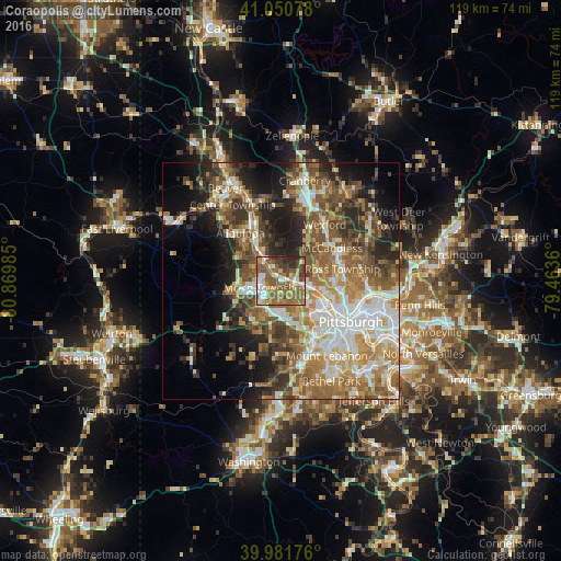
Analysis of Coraopolis night lights 2016
Square area 10x10 km:
 9.01%
9.01%90-99
10.2%80-89
10.54%70-79
5.1%60-69
17.01%50-59
29.59%40-49
8.16%30-39
5.44%20-29
4.93%10-19
0%0-9
0%Square area 50x50 km:
7.4%90-99
8.35%80-89
5.08%70-79
5.99%60-69
8.35%50-59
9.36%40-49
7.86%30-39
5.49%20-29
7.78%10-19
10.46%0-9
23.88%Clear (daylight) street map image can be seen on geolist.org.
Map coordinates:
41° 3' 2.8" North, 80° 52' 11.5" West
40° 31' 6.2" North, 80° 10' 0.2" West
39° 58' 54.3" North, 79° 27' 49" West
Some cities around Coraopolis sort by population:
• Franklin Park
9.8 km =6.1 mi,  42°
42°
• Carnot-Moon
4.3 km =2.7 mi,  270°
270°
• Economy
10.3 km =6.4 mi,  331°
331°
• Bellevue
10.1 km =6.3 mi,  105°
105°
• Ambridge
9.3 km =5.8 mi, 327°
• West View
11.2 km =7 mi,  87°
87°
• McKees Rocks
10.4 km =6.5 mi,  124°
124°
• Crafton
12.6 km =7.8 mi,  137°
137°
5185408 (p: 5,590)
Sources (retrieved 2019-11-25):
» Earth at Night: Flat Maps 2012, 2016