Columbus night lights from space
Night Light of Columbus (Ohio) from space (United States) Src. Average luminocity for 10x10km area is 99.1156% and for 50x50km: 53.2009%.
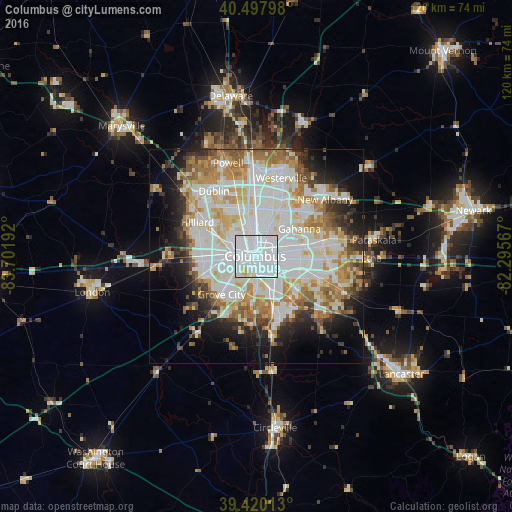
Analysis of Columbus night lights 2016
Square area 10x10 km:
 81.8%
81.8%90-99
14.63%80-89
2.89%70-79
0.68%60-69
0%50-59
0%40-49
0%30-39
0%20-29
0%10-19
0%0-9
0%Square area 50x50 km:
16.6%90-99
14.58%80-89
5.68%70-79
6.37%60-69
6.33%50-59
4.62%40-49
3.39%30-39
3.68%20-29
6.15%10-19
9.21%0-9
23.4%Clear (daylight) street map image can be seen on geolist.org.
Map coordinates:
40° 29' 52.7" North, 83° 42' 6.9" West
39° 57' 40.2" North, 82° 59' 55.6" West
39° 25' 12.5" North, 82° 17' 44.4" West
Some cities around Columbus sort by population:
• Grove City
12 km =7.5 mi,  222°
222°
• Upper Arlington
6.6 km =4.1 mi,  304°
304°
• Gahanna
12.1 km =7.5 mi,  57°
57°
• Whitehall
9.7 km =6 mi,  86°
86°
• Bexley
5.3 km =3.3 mi,  80°
80°
• Lincoln Village
11.3 km =7 mi,  266°
266°
• Blacklick Estates
13.1 km =8.1 mi,  118°
118°
• Grandview Heights
4.1 km =2.5 mi, 300°
4509177 (p: 850,106)
Sources (retrieved 2019-11-25):
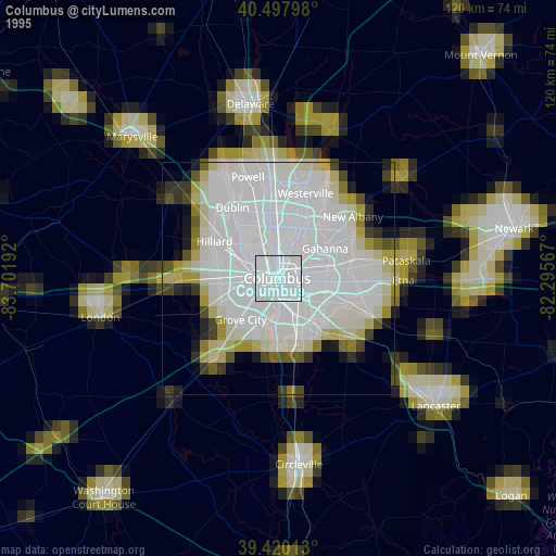
» NASA, Earths city lights 1995
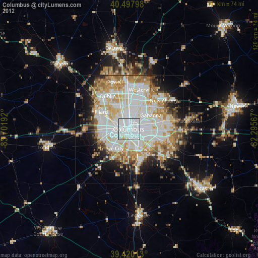
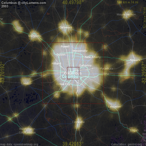
» NASA city lights 2003
» Earth at Night: Flat Maps 2012, 2016