Grove City night lights from space
Night Light of Grove City (Ohio) from space (United States) Src. Average luminocity for 10x10km area is 77.0782% and for 50x50km: 41.1003%.
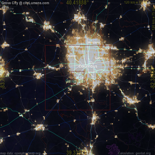
Analysis of Grove City night lights 2016
Square area 10x10 km:
 23.3%
23.3%90-99
25.51%80-89
10.71%70-79
6.12%60-69
8.67%50-59
5.78%40-49
6.46%30-39
6.8%20-29
5.44%10-19
1.19%0-9
0%Square area 50x50 km:
14.93%90-99
12.13%80-89
4.35%70-79
3.99%60-69
3.58%50-59
2.36%40-49
1.86%30-39
2.16%20-29
3.71%10-19
6.21%0-9
44.72%Clear (daylight) street map image can be seen on geolist.org.
Map coordinates:
40° 25' 8" North, 83° 47' 45.9" West
39° 52' 53.2" North, 83° 5' 34.7" West
39° 20' 23.2" North, 82° 23' 23.4" West
Some cities around Grove City sort by population:
• Columbus
12 km =7.5 mi,  42°
42°
• Upper Arlington
12.8 km =8 mi,  11°
11°
• Hilliard
17.8 km =11.1 mi,  341°
341°
• Whitehall
20.1 km =12.5 mi,  61°
61°
• Bexley
16.4 km =10.2 mi,  53°
53°
• Lincoln Village
8.8 km =5.5 mi, 338°
• Blacklick Estates
19.7 km =12.2 mi,  82°
82°
• Grandview Heights
11.8 km =7.3 mi,  22°
22°
4513409 (p: 39,388)
Sources (retrieved 2019-11-25):
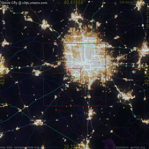
» Earth at Night: Flat Maps 2012, 2016