Berwyn night lights from space
Night Light of Berwyn (Illinois) from space (United States) Src. Average luminocity for 10x10km area is 99.146% and for 50x50km: 81.4939%.
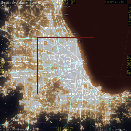

Analysis of Berwyn night lights 2016
Square area 10x10 km:
 75.87%
90-99
22.22%80-89
1.9%70-79
0%60-69
0%50-59
0%40-49
0%30-39
0%20-29
0%10-19
0%0-9
0%Square area 50x50 km:
45.1%90-99
20.27%80-89
8.3%70-79
5.2%60-69
3.25%50-59
2.84%40-49
1.97%30-39
1.46%20-29
1.36%10-19
1.8%0-9
8.45%Clear (daylight) street map image can be seen on geolist.org.
Map coordinates:
42° 22' 19.9" North, 88° 29' 48.5" West
41° 51' 2.1" North, 87° 47' 37.2" West
41° 19' 28.9" North, 87° 5' 26" West
Some cities around Berwyn sort by population:
• Cicero
3.3 km =2.1 mi,  99°
99°
• Oak Park
3.9 km =2.4 mi,  11°
11°
• Forest Park
3.6 km =2.2 mi,  332°
332°
• Lyons
4.6 km =2.9 mi,  206°
206°
• Riverside
3 km =1.9 mi,  234°
234°
• Broadview
5.2 km =3.2 mi,  286°
286°
• Stickney
3.4 km =2.1 mi,  164°
164°
• North Riverside
2.6 km =1.6 mi,  250°
250°
4884597 (p: 56,368)
Sources (retrieved 2019-11-25):
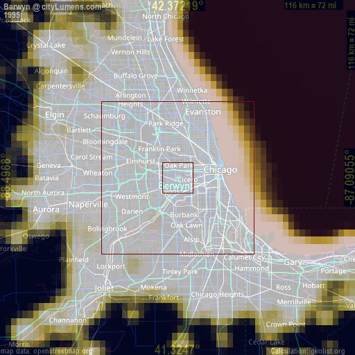
» NASA, Earths city lights 1995
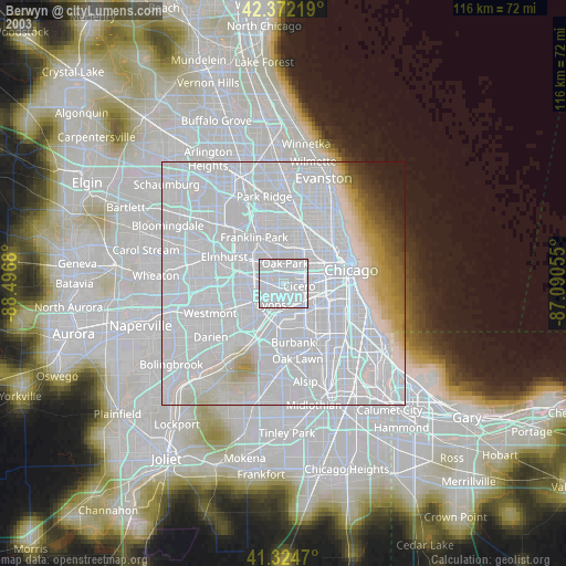
» NASA city lights 2003
» Earth at Night: Flat Maps 2012, 2016