Chester night lights from space
Night Light of Chester (Pennsylvania) from space (United States) Src. Average luminocity for 10x10km area is 80.2568% and for 50x50km: 67.4919%.
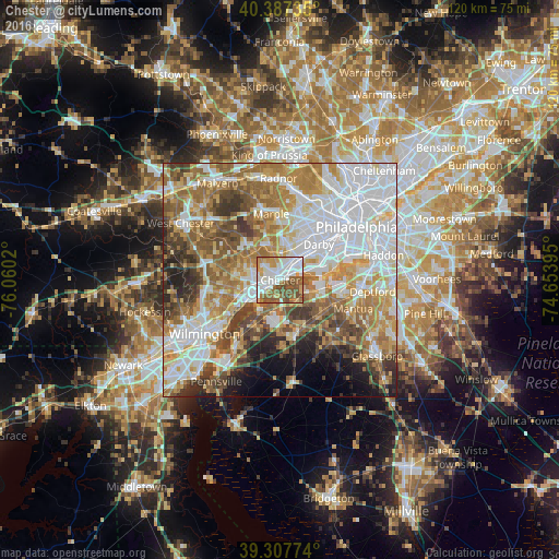
Analysis of Chester night lights 2016
Square area 10x10 km:
 25.17%
90-99
23.13%80-89
5.78%70-79
11.05%60-69
11.73%50-59
15.82%40-49
7.31%30-39
0%20-29
0%10-19
0%0-9
0%Square area 50x50 km:
20.51%90-99
13.32%80-89
7.9%70-79
10.09%60-69
11.96%50-59
9.35%40-49
6.91%30-39
6.14%20-29
4.17%10-19
4.29%0-9
5.35%Clear (daylight) street map image can be seen on geolist.org.
Map coordinates:
40° 23' 14.5" North, 76° 3' 36.7" West
39° 50' 58.8" North, 75° 21' 25.5" West
39° 18' 27.9" North, 74° 39' 14.2" West
Some cities around Chester sort by population:
• Woodlyn
3 km =1.9 mi,  34°
34°
• Folsom
5.2 km =3.2 mi, 31°
• Brookhaven
3.1 km =1.9 mi,  315°
315°
• Village Green-Green Ridge
6 km =3.7 mi,  284°
284°
• Ridley Park
4.5 km =2.8 mi,  38°
38°
• Prospect Park
6 km =3.7 mi, 44°
• Swarthmore
5.9 km =3.7 mi,  5°
5°
• Norwood
6.8 km =4.2 mi,  46°
46°
4557137 (p: 34,092)
Sources (retrieved 2019-11-25):
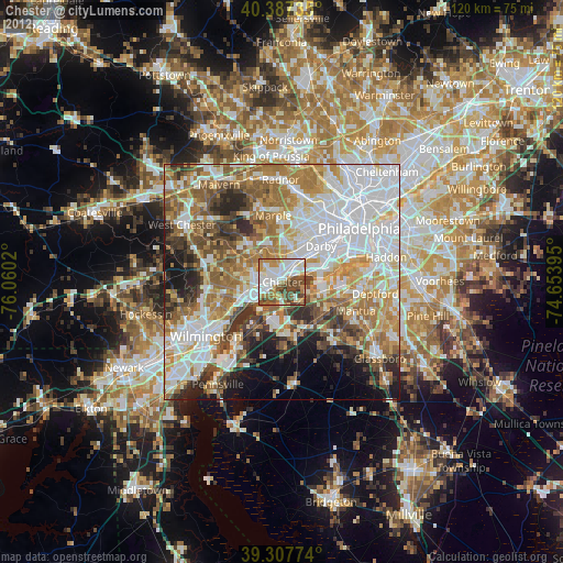
» Earth at Night: Flat Maps 2012, 2016