Verona night lights from space
Night Light of Verona (New Jersey) from space (United States) Src. Average luminocity for 10x10km area is 90.6224% and for 50x50km: 76.9023%.
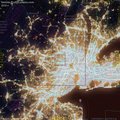
Analysis of Verona night lights 2016
Square area 10x10 km:
 26.53%
90-99
30.78%80-89
22.96%70-79
19.73%60-69
0%50-59
0%40-49
0%30-39
0%20-29
0%10-19
0%0-9
0%Square area 50x50 km:
30.89%90-99
17.13%80-89
8.15%70-79
10.82%60-69
11.33%50-59
6.59%40-49
3.05%30-39
2.52%20-29
3.33%10-19
2.38%0-9
3.81%Clear (daylight) street map image can be seen on geolist.org.
Map coordinates:
41° 21' 35" North, 74° 56' 35.8" West
40° 49' 47.4" North, 74° 14' 24.5" West
40° 17' 44.4" North, 73° 32' 13.3" West
Some cities around Verona sort by population:
• West Orange
3.5 km =2.2 mi,  178°
178°
• Montclair
2.7 km =1.7 mi,  99°
99°
• Cedar Grove
2.6 km =1.6 mi,  20°
20°
• Upper Montclair
3.7 km =2.3 mi,  60°
60°
• Caldwell
3.3 km =2.1 mi,  289°
289°
• Glen Ridge
4.1 km =2.5 mi,  131°
131°
• North Caldwell
4.2 km =2.6 mi,  338°
338°
• Roseland
4.6 km =2.9 mi,  257°
257°
5105809 (p: 13,545)
Sources (retrieved 2019-11-25):
» Earth at Night: Flat Maps 2012, 2016