Carrollton night lights from space
Night Light of Carrollton (Georgia) from space (United States) Src. Average luminocity for 10x10km area is 70.8901% and for 50x50km: 18.0749%.
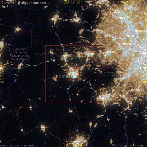
Analysis of Carrollton night lights 2016
Square area 10x10 km:
 15.02%
90-99
15.93%80-89
11.72%70-79
11.54%60-69
13.19%50-59
8.97%40-49
10.44%30-39
6.23%20-29
6.04%10-19
0.92%0-9
0%Square area 50x50 km:
1.14%90-99
1.39%80-89
2.02%70-79
2.83%60-69
2.93%50-59
2.97%40-49
3.45%30-39
5.79%20-29
7.73%10-19
12.56%0-9
57.19%Clear (daylight) street map image can be seen on geolist.org.
Map coordinates:
34° 9' 50" North, 85° 46' 47.1" West
33° 34' 48.4" North, 85° 4' 35.8" West
32° 59' 32.4" North, 84° 22' 24.6" West
Some cities around Carrollton sort by population:
• Newnan
33.9 km =21.1 mi,  130°
130°
• Douglasville
35.9 km =22.3 mi,  57°
57°
• Lithia Springs
45.3 km =28.1 mi, 58°
• Villa Rica
22.3 km =13.9 mi,  40°
40°
• Fairburn
45.9 km =28.5 mi,  91°
91°
• Dallas
44 km =27.3 mi,  29°
29°
• Tyrone
46.1 km =28.6 mi,  105°
105°
• Bremen
16.9 km =10.5 mi,  337°
337°
4186416 (p: 26,203)
Sources (retrieved 2019-11-25):
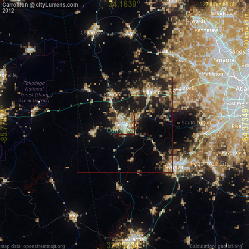
» Earth at Night: Flat Maps 2012, 2016