Carrboro night lights from space
Night Light of Carrboro (North Carolina) from space (United States) Src. Average luminocity for 10x10km area is 58.5824% and for 50x50km: 36.039%.
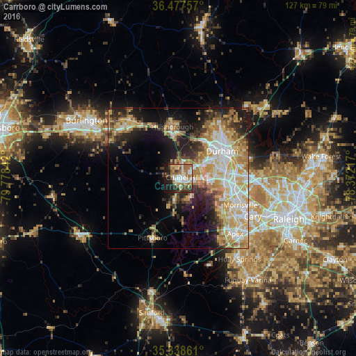
Analysis of Carrboro night lights 2016
Square area 10x10 km:
 10.81%
90-99
13%80-89
7.51%70-79
6.78%60-69
13.19%50-59
7.88%40-49
8.79%30-39
7.33%20-29
10.99%10-19
13.74%0-9
0%Square area 50x50 km:
6.53%90-99
6.58%80-89
7.2%70-79
6.32%60-69
6.1%50-59
2.88%40-49
3.02%30-39
4.62%20-29
6.13%10-19
11.81%0-9
38.8%Clear (daylight) street map image can be seen on geolist.org.
Map coordinates:
36° 28' 39.3" North, 79° 46' 42.3" West
35° 54' 36.5" North, 79° 4' 31" West
35° 20' 19" North, 78° 22' 19.8" West
Some cities around Carrboro sort by population:
• Durham
18.4 km =11.4 mi,  59°
59°
• Cary
29.6 km =18.4 mi,  116°
116°
• Chapel Hill
1.8 km =1.1 mi,  79°
79°
• Apex
28.3 km =17.6 mi,  134°
134°
• Morrisville
24.5 km =15.2 mi,  113°
113°
• Graham
34.2 km =21.3 mi,  301°
301°
• Mebane
26.9 km =16.7 mi,  320°
320°
• Hillsborough
18.5 km =11.5 mi,  353°
353°
4459343 (p: 21,156)
Sources (retrieved 2019-11-25):
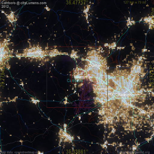
» Earth at Night: Flat Maps 2012, 2016