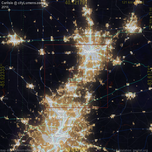
Carlisle night lights from space
Night Light of Carlisle (Ohio) from space (United States) Src. Average luminocity for 10x10km area is 50.8896% and for 50x50km: 40.4227%.
Analysis of Carlisle night lights 2016
Square area 10x10 km:
 3.25%
3.25%90-99
5.36%80-89
6.98%70-79
6.33%60-69
9.42%50-59
18.02%40-49
18.67%30-39
7.95%20-29
16.72%10-19
7.31%0-9
0%Square area 50x50 km:
7.1%90-99
8.16%80-89
5.3%70-79
6.86%60-69
7.12%50-59
6.69%40-49
5.41%30-39
5.81%20-29
6.45%10-19
6.91%0-9
34.18%Clear (daylight) street map image can be seen on geolist.org.
Map coordinates:
40° 7' 18.4" North, 85° 1' 24.1" West
39° 34' 55.2" North, 84° 19' 12.8" West
39° 2' 16.7" North, 83° 37' 1.6" West
Some cities around Carlisle sort by population:
• Middletown
10 km =6.2 mi,  221°
221°
• Centerville
14.7 km =9.1 mi,  69°
69°
• Miamisburg
7.4 km =4.6 mi,  23°
23°
• Springboro
8.2 km =5.1 mi,  113°
113°
• Monroe
16.2 km =10.1 mi,  192°
192°
• West Carrollton City
11.6 km =7.2 mi,  30°
30°
• Franklin
2.9 km =1.8 mi,  151°
151°
• Germantown
6.5 km =4 mi,  319°
319°
4507937 (p: 5,259)
Sources (retrieved 2019-11-25):
» Earth at Night: Flat Maps 2012, 2016