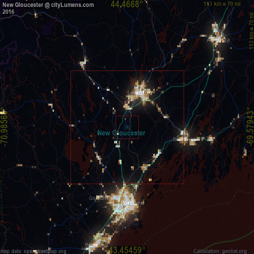
New Gloucester night lights from space
Night Light of New Gloucester (Maine) from space (United States) Src. Average luminocity for 10x10km area is 1.4175% and for 50x50km: 6.2043%.
Analysis of New Gloucester night lights 2016
Square area 10x10 km:
 0%
0%90-99
0%80-89
0.63%70-79
0%60-69
0%50-59
0%40-49
0%30-39
0.63%20-29
0%10-19
0.63%0-9
98.1%Square area 50x50 km:
0.39%90-99
0.97%80-89
0.98%70-79
0.74%60-69
0.77%50-59
0.71%40-49
0.65%30-39
0.89%20-29
1.74%10-19
4.21%0-9
87.95%Clear (daylight) street map image can be seen on geolist.org.
Map coordinates:
44° 28' 0.5" North, 70° 59' 8.4" West
43° 57' 46.3" North, 70° 16' 57.2" West
43° 27' 16.5" North, 69° 34' 45.9" West
Some cities around New Gloucester sort by population:
• Lewiston
16.2 km =10.1 mi,  19°
19°
• Auburn
15.6 km =9.7 mi, 15°
• Brunswick
26 km =16.2 mi,  101°
101°
• Lisbon
16.2 km =10.1 mi,  61°
61°
• Topsham
24.9 km =15.5 mi, 99°
• Yarmouth
19.6 km =12.2 mi,  156°
156°
• Poland
14 km =8.7 mi,  320°
320°
• Harpswell Center
29.9 km =18.6 mi,  126°
126°
4973259 (p: 5,389)
Sources (retrieved 2019-11-25):
» Earth at Night: Flat Maps 2012, 2016