Boynton Beach night lights from space
Night Light of Boynton Beach (Florida) from space (United States) Src. Average luminocity for 10x10km area is 75.5852% and for 50x50km: 41.3564%.
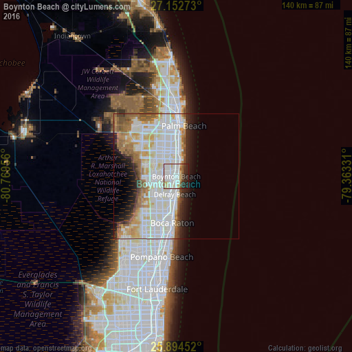
Analysis of Boynton Beach night lights 2016
Square area 10x10 km:
 30.68%
90-99
23.48%80-89
11.74%70-79
1.14%60-69
3.03%50-59
4.17%40-49
2.46%30-39
5.11%20-29
14.02%10-19
4.17%0-9
0%Square area 50x50 km:
13.46%90-99
13.87%80-89
4.08%70-79
2.95%60-69
5.02%50-59
3.19%40-49
2.09%30-39
2.06%20-29
4.37%10-19
5.67%0-9
43.26%Clear (daylight) street map image can be seen on geolist.org.
Map coordinates:
27° 9' 9.8" North, 80° 46' 10.4" West
26° 31' 31.3" North, 80° 3' 59.1" West
25° 53' 40.3" North, 79° 21' 47.9" West
Some cities around Boynton Beach sort by population:
• Boca Raton
18.6 km =11.6 mi,  185°
185°
• Delray Beach
7.1 km =4.4 mi, 185°
• Lake Worth
10.2 km =6.3 mi,  356°
356°
• Greenacres City
12.4 km =7.7 mi,  331°
331°
• Palm Springs
12.6 km =7.8 mi,  346°
346°
• Lake Worth Corridor
10.7 km =6.6 mi,  341°
341°
• Kings Point
11.5 km =7.1 mi,  219°
219°
• Lantana
7 km =4.3 mi,  11°
11°
4148677 (p: 73,966)
Sources (retrieved 2019-11-25):
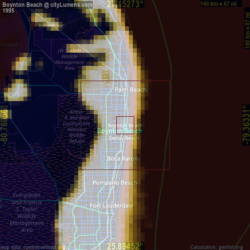
» NASA, Earths city lights 1995
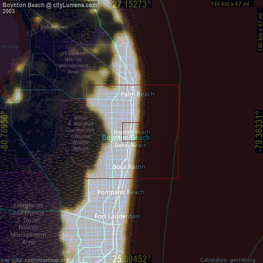
» NASA city lights 2003
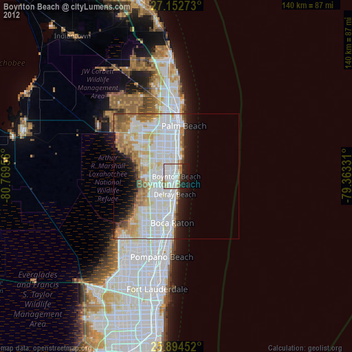
» Earth at Night: Flat Maps 2012, 2016