Boerne night lights from space
Night Light of Boerne (Texas) from space (United States) Src. Average luminocity for 10x10km area is 34.9782% and for 50x50km: 10.8164%.
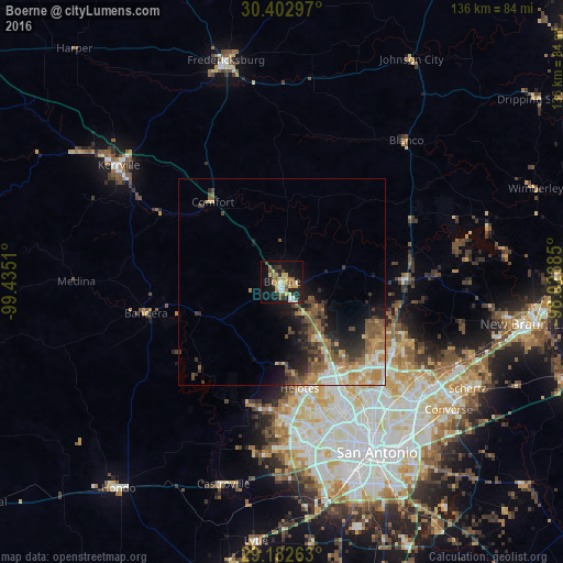
Analysis of Boerne night lights 2016
Square area 10x10 km:
 3.17%
3.17%90-99
3.57%80-89
7.54%70-79
7.54%60-69
3.37%50-59
7.34%40-49
1.79%30-39
5.75%20-29
7.34%10-19
31.15%0-9
21.43%Square area 50x50 km:
1.15%90-99
1.4%80-89
1.24%70-79
1.87%60-69
1.7%50-59
2.55%40-49
1.89%30-39
1.93%20-29
2.46%10-19
5.74%0-9
78.07%Clear (daylight) street map image can be seen on geolist.org.
Map coordinates:
30° 24' 10.7" North, 99° 26' 6.4" West
29° 47' 40.8" North, 98° 43' 55.1" West
29° 10' 57.5" North, 98° 1' 43.9" West
Some cities around Boerne sort by population:
• Live Oak
45.9 km =28.5 mi,  123°
123°
• Timberwood Park
26.4 km =16.4 mi,  111°
111°
• Leon Valley
35 km =21.7 mi,  161°
161°
• Helotes
24.4 km =15.2 mi,  170°
170°
• Alamo Heights
43 km =26.7 mi,  143°
143°
• Fair Oaks Ranch
10.1 km =6.3 mi, 122°
• Terrell Hills
44.7 km =27.8 mi, 142°
• Lakehills
29.4 km =18.3 mi,  223°
223°
4675373 (p: 13,674)
Sources (retrieved 2019-11-25):
» Earth at Night: Flat Maps 2012, 2016