Madeira night lights from space
Night Light of Madeira (Ohio) from space (United States) Src. Average luminocity for 10x10km area is 75.7224% and for 50x50km: 59.4332%.
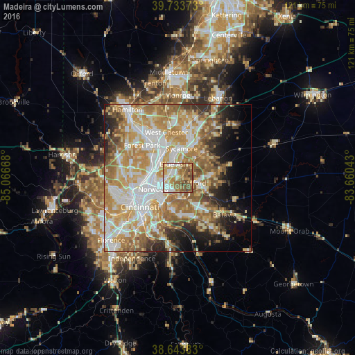
Analysis of Madeira night lights 2016
Square area 10x10 km:
 12.99%
90-99
20.29%80-89
9.74%70-79
15.91%60-69
16.56%50-59
19.32%40-49
4.71%30-39
0.49%20-29
0%10-19
0%0-9
0%Square area 50x50 km:
12.35%90-99
13.72%80-89
8.78%70-79
11.5%60-69
11.08%50-59
8.56%40-49
4.38%30-39
3.9%20-29
5.4%10-19
7.09%0-9
13.23%Clear (daylight) street map image can be seen on geolist.org.
Map coordinates:
39° 44' 1.4" North, 85° 4' 0" West
39° 11' 27.2" North, 84° 21' 48.8" West
38° 38' 37.8" North, 83° 39' 37.5" West
Some cities around Madeira sort by population:
• Blue Ash
4.7 km =2.9 mi,  344°
344°
• Montgomery
4.2 km =2.6 mi,  11°
11°
• Reading
7.7 km =4.8 mi,  298°
298°
• Kenwood
2.2 km =1.4 mi,  351°
351°
• Milford
6.2 km =3.9 mi,  106°
106°
• The Village of Indian Hill
2.8 km =1.7 mi,  117°
117°
• Deer Park
3.1 km =1.9 mi, 300°
• Turpin Hills
9.1 km =5.7 mi,  188°
188°
4517353 (p: 8,976)
Sources (retrieved 2019-11-25):
» Earth at Night: Flat Maps 2012, 2016