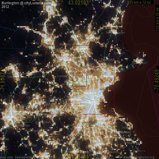
Burlington night lights from space
Night Light of Burlington (Massachusetts) from space (United States) Src. Average luminocity for 10x10km area is 76.6349% and for 50x50km: 54.855%.
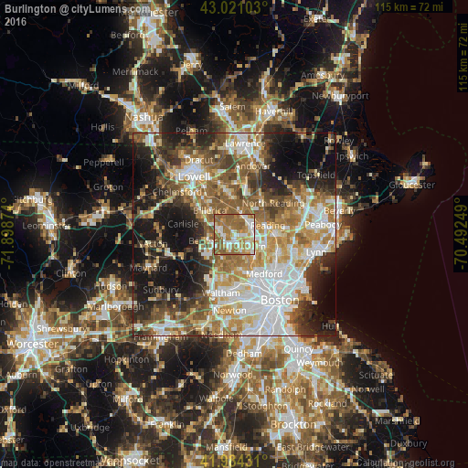
Analysis of Burlington night lights 2016
Square area 10x10 km:
 16.19%
90-99
16.83%80-89
9.05%70-79
11.27%60-69
25.71%50-59
20.79%40-49
0.16%30-39
0%20-29
0%10-19
0%0-9
0%Square area 50x50 km:
12.55%90-99
10.93%80-89
6.41%70-79
7.07%60-69
9.31%50-59
9.29%40-49
6.87%30-39
6.26%20-29
9.46%10-19
14.3%0-9
7.53%Clear (daylight) street map image can be seen on geolist.org.
Map coordinates:
43° 1' 15.7" North, 71° 53' 55.5" West
42° 30' 17.4" North, 71° 11' 44.2" West
41° 59' 3.5" North, 70° 29' 33" West
Some cities around Burlington sort by population:
• Woburn
4.5 km =2.8 mi,  128°
128°
• Lexington
6.8 km =4.2 mi,  200°
200°
• Reading
8.5 km =5.3 mi,  74°
74°
• Wilmington
5 km =3.1 mi,  21°
21°
• Stoneham
8.3 km =5.2 mi,  109°
109°
• Winchester
7.6 km =4.7 mi,  140°
140°
• Bedford
6.8 km =4.2 mi,  256°
256°
• Pinehurst
3.8 km =2.4 mi,  315°
315°
4931737 (p: 24,498)
Sources (retrieved 2019-11-25):
» Earth at Night: Flat Maps 2012, 2016