Belton night lights from space
Night Light of Belton (Missouri) from space (United States) Src. Average luminocity for 10x10km area is 52.4541% and for 50x50km: 40.1231%.
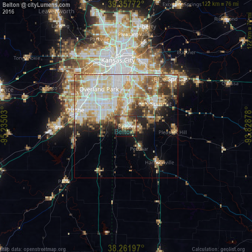
Analysis of Belton night lights 2016
Square area 10x10 km:
 6.8%
6.8%90-99
10.2%80-89
7.99%70-79
7.14%60-69
9.86%50-59
7.48%40-49
9.35%30-39
10.71%20-29
12.93%10-19
14.97%0-9
2.55%Square area 50x50 km:
9.34%90-99
11.07%80-89
6.13%70-79
4.46%60-69
5.38%50-59
4.15%40-49
3.99%30-39
3.92%20-29
4.62%10-19
5.94%0-9
41.01%Clear (daylight) street map image can be seen on geolist.org.
Map coordinates:
39° 21' 27.8" North, 95° 14' 6.1" West
38° 48' 43" North, 94° 31' 54.8" West
38° 15' 43.1" North, 93° 49' 43.6" West
Some cities around Belton sort by population:
• Overland Park
22.4 km =13.9 mi,  327°
327°
• Lee's Summit
17 km =10.6 mi,  49°
49°
• Leawood
18.7 km =11.6 mi,  336°
336°
• Raytown
22.7 km =14.1 mi,  15°
15°
• Grandview
8.2 km =5.1 mi,  359°
359°
• Prairie Village
21.8 km =13.5 mi, 336°
• Raymore
6.9 km =4.3 mi,  99°
99°
• Greenwood
16.9 km =10.5 mi,  74°
74°
4376482 (p: 23,168)
Sources (retrieved 2019-11-25):
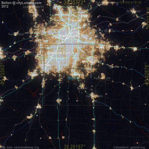
» Earth at Night: Flat Maps 2012, 2016